
Regions of Pakistan
Pakistan is administered as four provinces, Punjab, Sindh, Khyber Pakhtunkhwa and Balochistan, plus Islamabad Capital Territory and the administrative territories of Gilgit-Baltistan and Azad Jammu and Kashmir. Together they cover 881,913 square kilometres and hold a population of about 241 million. This cluster covers provinces, valleys and cities.
Region pages give the administrative facts first, then geography, languages, economy and the places worth knowing. City and valley pages nest under their province, so Hunza sits under Gilgit-Baltistan and Multan under Punjab.
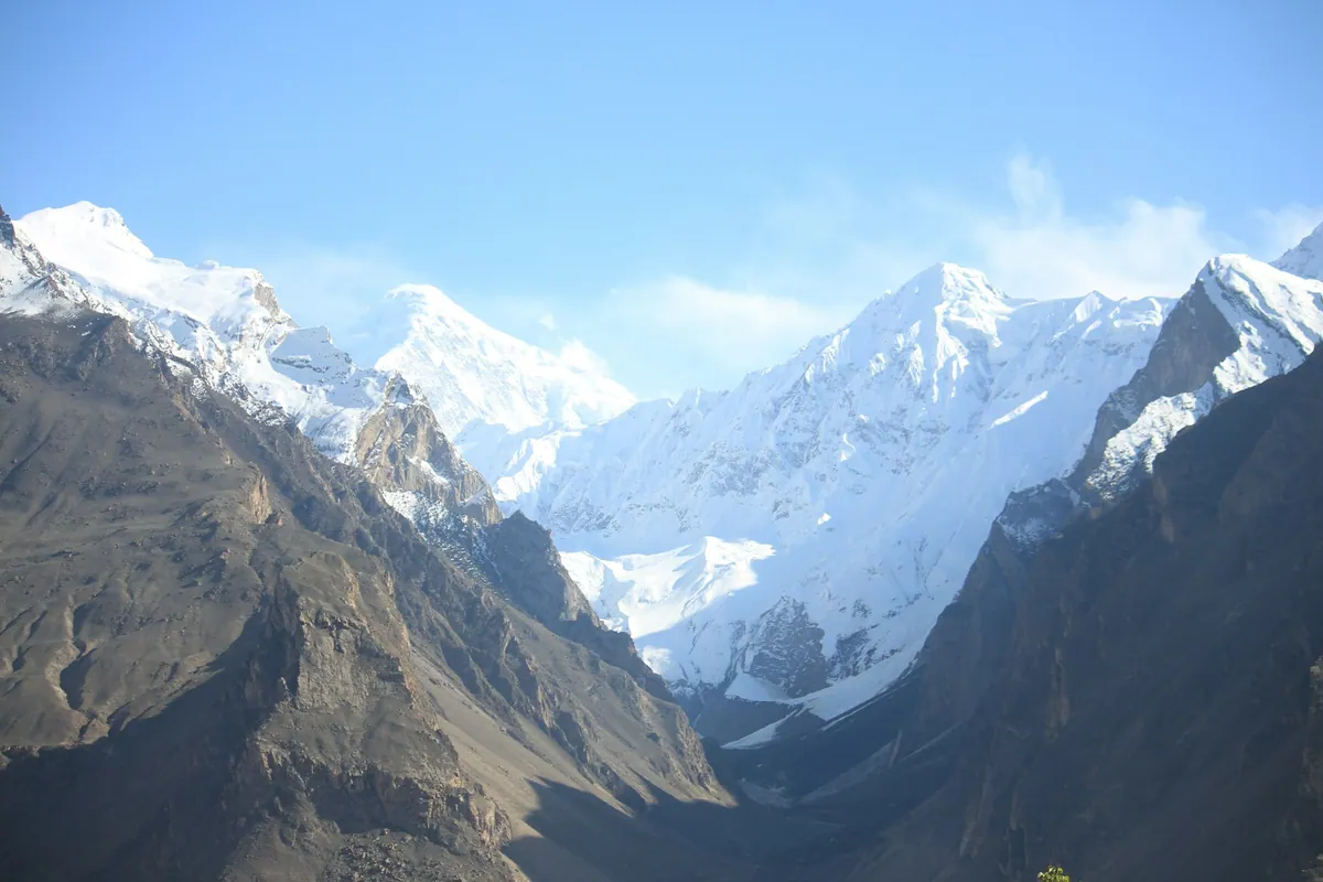
Quick facts
- Total area
- 881,913 sq km
- Population
- About 241 million (2023 census)
- Largest city
- Karachi
What this section covers
- Punjab
Lahore, Multan, Faisalabad, the canal belt
- Sindh
Karachi, Thatta, the lower Indus and the delta
- Khyber Pakhtunkhwa
Peshawar, Swat, Chitral, the Hindu Kush
- Balochistan
Quetta, Ziarat, the Makran coast
- Gilgit-Baltistan
Hunza, Skardu, the Karakoram
- Azad Jammu and Kashmir
Neelum, Muzaffarabad, the Jhelum valley
- Islamabad Capital Territory
The capital and the Margalla Hills
In this section
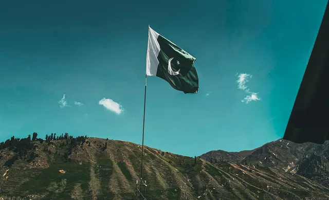 Provinces and territories of PakistanPakistan is made up of four provinces, Punjab, Sindh, Khyber Pakhtunkhwa and Balochistan, together with Islamabad Capital Territory and the administrative territories of Gilgit-Baltistan and Azad Jammu and Kashmir. The country covers about 881,913 square kilometres and had a population of roughly 241 million at the 2023 census.
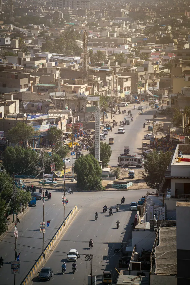 Major cities of PakistanPakistan's largest cities are Karachi, with more than 20 million people, and Lahore, with over 11 million, followed by Faisalabad, Rawalpindi, Gujranwala, Peshawar, Multan, Hyderabad and Quetta. Islamabad, built from 1960, is the smallest by population among the major centres but is the seat of government.
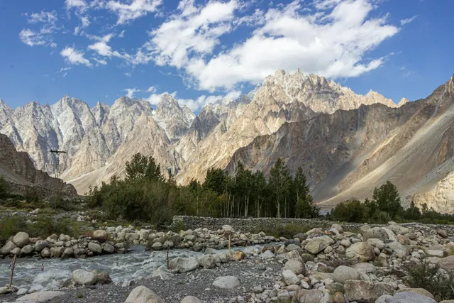 Valleys of northern PakistanNorthern Pakistan is defined by its valleys: Hunza, Nagar and Shigar in the Karakoram, Swat and Chitral in the Hindu Kush, Kaghan and Neelum in the western Himalaya. Most settlement sits between about 1,000 and 3,000 metres, on irrigated terraces beside rivers fed by glacier melt.
Detailed pages
Individual pages for these topics are being researched and written. The overview above is complete and sourced; continue with the Pakistan index or the related sections below.
Key dates and milestones
| When | What happened |
|---|---|
| 1947 | Punjab, Sindh, Balochistan and the North-West Frontier join Pakistan |
| 1960 | Islamabad chosen as the new federal capital |
| 2010 | The North-West Frontier Province is renamed Khyber Pakhtunkhwa |
| 2023 | Census records a population of about 241 million |
Practical notes
- Four provinces, one capital territory and two administrative territories make up the country.
- City and valley pages nest under their province, so Hunza sits under Gilgit-Baltistan.
- Domestic flights connect Islamabad and Karachi to Gilgit, Skardu, Quetta and Gwadar, weather permitting.
Where in Pakistan
Punjab · Sindh · Khyber Pakhtunkhwa · Balochistan · Gilgit-Baltistan · Azad Jammu and Kashmir
Frequently asked questions
- How many provinces does Pakistan have?
- Four: Punjab, Sindh, Khyber Pakhtunkhwa and Balochistan, plus Islamabad Capital Territory and the administrative territories of Gilgit-Baltistan and Azad Jammu and Kashmir.
- What is the largest province of Pakistan by area?
- Balochistan, at about 347,190 square kilometres, roughly 44 percent of the country's land area, though it holds under 6 percent of the population.
- What is the largest city in Pakistan?
- Karachi, the capital of Sindh and the country's main port, with a metropolitan population of well over 20 million.