
Rivers and lakes of Pakistan
The Indus river runs about 3,180 kilometres from the Tibetan plateau to the Arabian Sea and, with its five Punjab tributaries, drains almost the whole of Pakistan. The basin supports the largest contiguous irrigation system in the world. This cluster covers rivers, basins, barrages and the alpine and salt lakes fed by them.
Water shapes Pakistani settlement more than any other feature. Pages here cover river courses and flow, the barrages and dams built on them, the Indus Waters Treaty of 1960, and lakes from Saif-ul-Malook and Attabad in the north to Manchar and Keenjhar in Sindh.
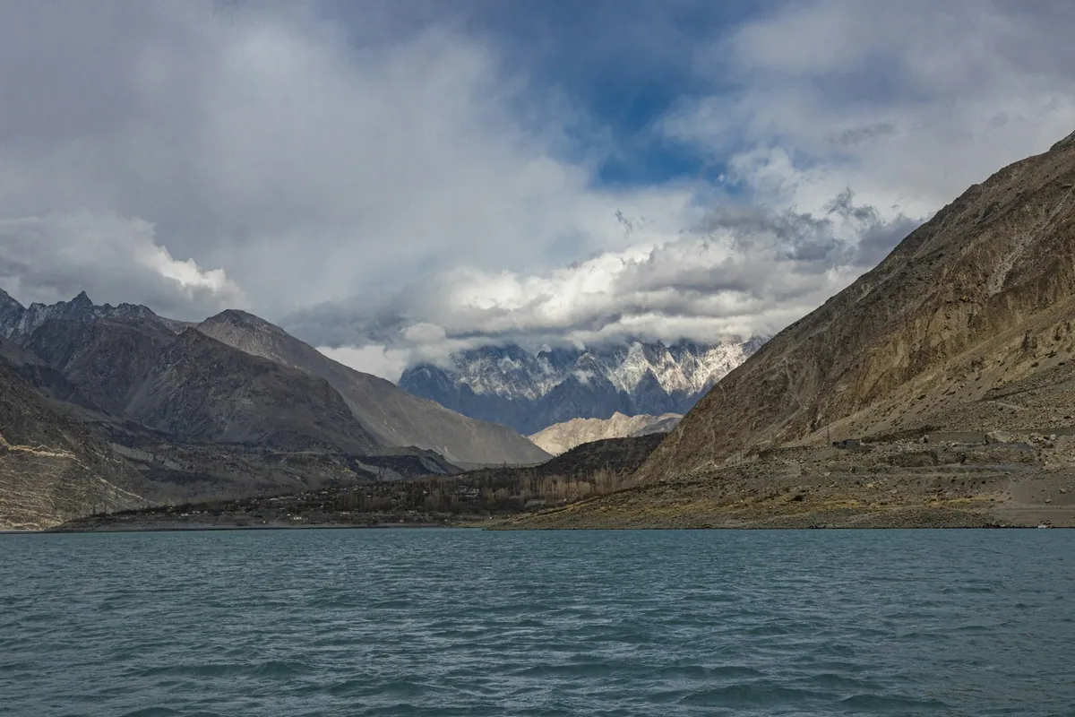
Quick facts
- Indus length
- About 3,180 km
- Basin area
- About 1.12 million sq km
- Highest large lake
- Rush Lake, about 4,694 m
What this section covers
- The Indus
Course, tributaries, delta and flow
- Punjab rivers
Jhelum, Chenab, Ravi, Beas, Sutlej
- Dams and barrages
Tarbela, Mangla, Sukkur, Kotri
- Alpine lakes
Saif-ul-Malook, Attabad, Satpara, Rush
- Plains and salt lakes
Manchar, Keenjhar, Kallar Kahar, Hanna
In this section
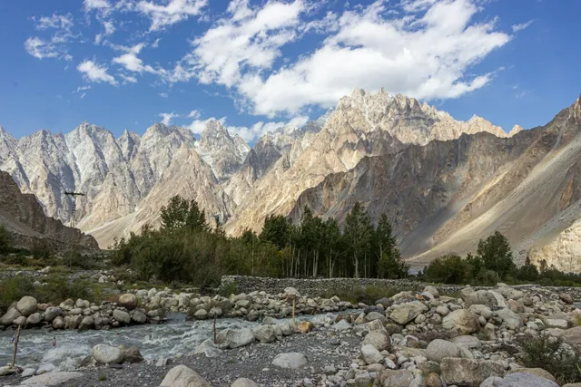 The Indus river systemThe Indus is Pakistan's principal river, running about 3,180 kilometres from its source in Tibet through Gilgit-Baltistan and the length of the country to the Arabian Sea. With its eastern tributaries, the Jhelum, Chenab, Ravi, Beas and Sutlej, it waters one of the largest contiguous irrigation systems in the world.
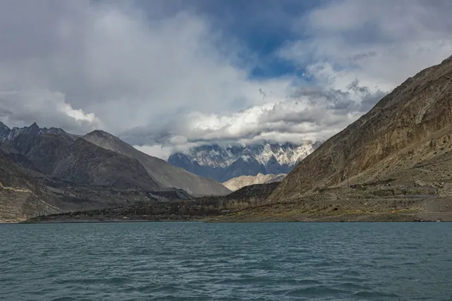 Alpine and glacial lakesPakistan's high lakes sit mostly between 2,500 and 4,500 metres in Gilgit-Baltistan, Khyber Pakhtunkhwa and Azad Kashmir. They include Saif-ul-Malook at 3,224 metres, Sheosar on the Deosai plains at about 4,142 metres, Rush Lake at about 4,694 metres, and Attabad, formed by a landslide in January 2010.
Detailed pages
Individual pages for these topics are being researched and written. The overview above is complete and sourced; continue with the Pakistan index or the related sections below.
Key dates and milestones
| When | What happened |
|---|---|
| 1932 | Sukkur Barrage completed on the Indus |
| 1960 | Indus Waters Treaty signed with India |
| 1967 | Mangla Dam completed on the Jhelum |
| 1976 | Tarbela Dam completed on the Indus |
| 2010 | Attabad landslide dams the Hunza river, forming Attabad Lake |
Practical notes
- The Indus basin irrigation system is the largest contiguous irrigation network in the world.
- River flow peaks with snowmelt and monsoon between June and September.
- Alpine lakes such as Saif-ul-Malook and Rush are usually reachable only from late June to September.
Where in Pakistan
Punjab · Sindh · Gilgit-Baltistan · Khyber Pakhtunkhwa
Frequently asked questions
- How long is the Indus river?
- About 3,180 kilometres from its source on the Tibetan plateau to the Arabian Sea, draining a basin of roughly 1.12 million square kilometres.
- What are the five rivers of Punjab?
- The Jhelum, Chenab, Ravi, Beas and Sutlej. The name Punjab means 'five waters'; under the 1960 Indus Waters Treaty the three eastern rivers were allocated to India.
- What is the highest lake in Pakistan?
- Rush Lake in the Nagar valley, Gilgit-Baltistan, at about 4,694 metres, one of the highest alpine lakes in the world.