
Rivers and lakes
The Indus river system
The Indus is Pakistan's principal river, running about 3,180 kilometres from its source in Tibet through Gilgit-Baltistan and the length of the country to the Arabian Sea. With its eastern tributaries, the Jhelum, Chenab, Ravi, Beas and Sutlej, it waters one of the largest contiguous irrigation systems in the world.
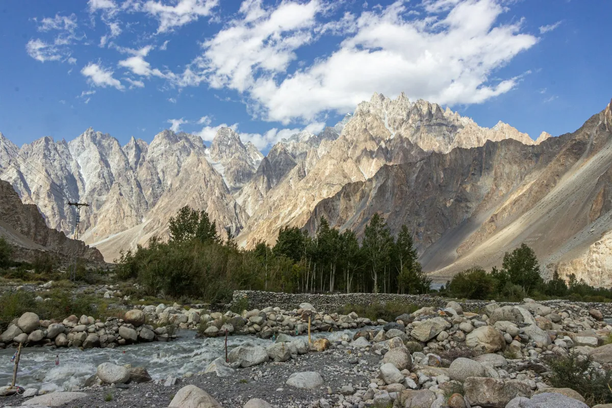
Quick facts
- Length
- About 3,180 km
- Indus Waters Treaty
- 1960
- Tarbela dam completed
- 1976
- Mangla dam completed
- 1967
Background
The Indus Waters Treaty of 1960 allocated the three western rivers to Pakistan and the three eastern rivers to India. Major structures include Tarbela dam on the Indus, completed in 1976, and Mangla on the Jhelum, completed in 1967. The delta below Thatta has shrunk substantially as upstream withdrawals reduced downstream flow.
Key entries
- Upper Indus
From Tibet through Ladakh into Baltistan and Gilgit.
- The five rivers of Punjab
Jhelum, Chenab, Ravi, Beas and Sutlej.
- Barrages
Sukkur, Guddu and Kotri control flow in Sindh.
- The delta
Mangrove creeks below Thatta, much reduced in flow.
Frequently asked questions
- How long is the Indus river?
- About 3,180 kilometres from its source in Tibet to the Arabian Sea.
- What is the Indus Waters Treaty?
- A 1960 agreement dividing the Indus basin rivers between Pakistan and India, with the western rivers allocated to Pakistan.