Places of Pakistan
Every destination on the Explore map has its own reference page: what the place is, its history and geography, what stands there today, and when to go. Photographs are linked at the bottom of each page.
Azad Jammu and Kashmir
Balochistan
 CityQuettaQuetta is the capital of Balochistan, Pakistan's largest province by area, and sits at about 1,680 metres in a valley ringed by the Chiltan, Takatu, Zarghun and Murdar mountains. It is known for its orchards, its position on the route to Kandahar through the Khojak Pass, and for the 1935 earthquake that destroyed much of the city.
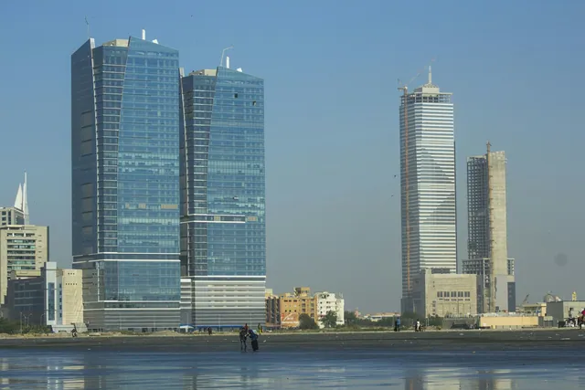 CoastGwadarGwadar is a port city on the Makran coast of Balochistan, on a natural hammerhead peninsula between two bays on the Arabian Sea. It was under Omani rule from 1783 until Pakistan purchased it in 1958, and its deep-water port, operational since 2007, is the maritime end of the China-Pakistan Economic Corridor.
Gilgit-Baltistan
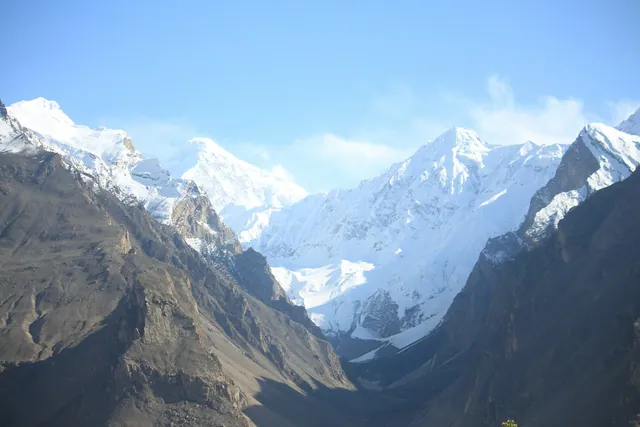 ValleyHunzaHunza is a mountain valley in Gilgit-Baltistan, northern Pakistan, sitting between about 2,000 and 2,500 metres along the Hunza river and the Karakoram Highway. It is known for Baltit and Altit forts, apricot terraces, and a ring of peaks including Rakaposhi at 7,788 metres and Ultar Sar at 7,388 metres.
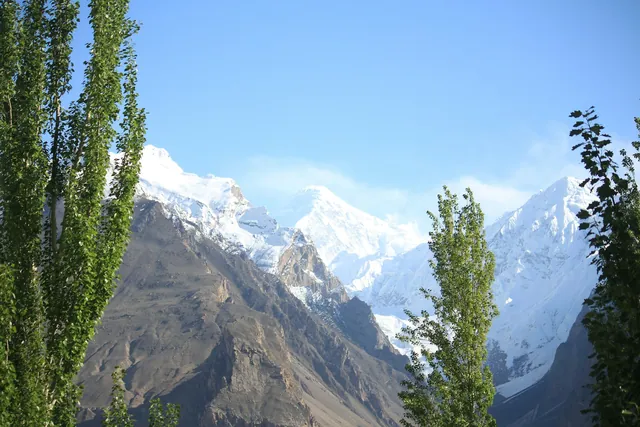 CitySkarduSkardu is the main town of Baltistan in Gilgit-Baltistan, set at about 2,230 metres on a wide sandy basin where the Shigar river meets the Indus. It is the staging point for expeditions to K2 at 8,611 metres and to four of the world's fourteen peaks above 8,000 metres.
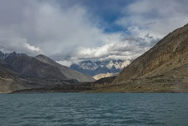 TerritoryGilgit-BaltistanGilgit-Baltistan is the northernmost administrative territory of Pakistan, covering about 72,971 square kilometres where the Karakoram, Himalaya and Hindu Kush ranges meet. It contains five peaks above 8,000 metres, including K2 at 8,611 metres, and some of the largest glaciers outside the polar regions.
- MeadowFairy MeadowsFairy Meadows is an alpine grassland at about 3,300 metres in Diamer district, Gilgit-Baltistan, facing the 8,126 metre north face of Nanga Parbat. German climbers named it Märchenwiese in the 1930s. It is the standard approach to Nanga Parbat base camp, roughly a four-hour walk further up the ridge.
Islamabad Capital Territory
Khyber Pakhtunkhwa
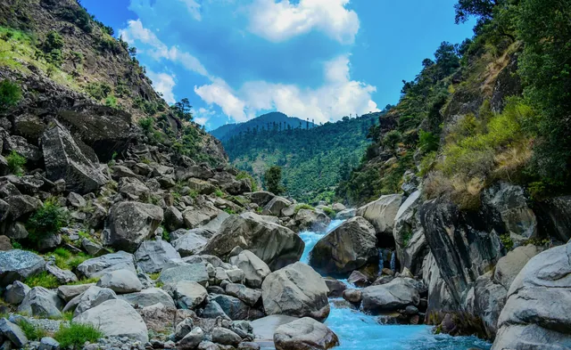 Hill stationNaranNaran is a town at about 2,409 metres in the upper Kaghan valley, Mansehra district, Khyber Pakhtunkhwa. It sits on the Kunhar river and is the base for Lake Saif-ul-Malook at 3,224 metres and for the Babusar Pass road at 4,173 metres, which links Kaghan to Gilgit-Baltistan.
- ValleyKaghan ValleyThe Kaghan valley runs about 155 kilometres along the Kunhar river in Mansehra district, Khyber Pakhtunkhwa, climbing from roughly 900 metres at Balakot to 4,173 metres at Babusar Pass. Its settlements include Kaghan, Naran and Battakundi, and it holds alpine lakes such as Saif-ul-Malook, Lulusar and Dudipatsar.
- ValleySwatSwat is a river valley and district in Khyber Pakhtunkhwa, covering about 5,337 square kilometres along the Swat river. Its main town is Mingora, and it holds major Buddhist-era remains from the Gandhara period, including the Butkara stupa and the Jehanabad Buddha, alongside the alpine valleys of Kalam and Ushu.
- ValleyChitralChitral is a district and town in the Hindu Kush of Khyber Pakhtunkhwa, at about 1,500 metres on the Chitral river. It is dominated by Tirich Mir, the highest peak of the Hindu Kush at 7,708 metres, and contains the three Kalash valleys of Bumburet, Rumbur and Birir, home to the Kalash people.
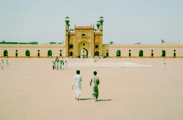 CityPeshawarPeshawar is the capital of Khyber Pakhtunkhwa and one of the oldest continuously inhabited cities in South Asia, with settlement traced back at least 2,000 years. It sits at about 331 metres on the Peshawar valley near the eastern end of the Khyber Pass, and its walled city, Qissa Khwani bazaar and Mahabat Khan Mosque are its best-known landmarks.
Punjab
- Hill stationMurreeMurree is a hill station at about 2,291 metres in Rawalpindi district, Punjab, roughly 60 kilometres north-east of Islamabad. It was founded in 1851 as a British sanatorium and summer station, and its Mall Road, Anglican church and Gothic-revival buildings survive from that period. It is Pakistan's most visited hill town.
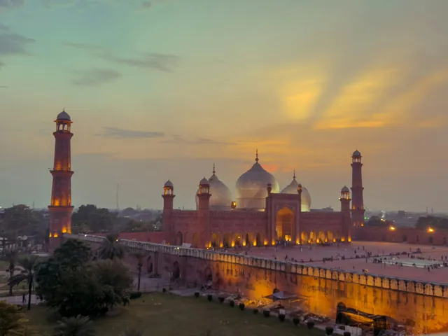 CityLahoreLahore is the capital of Punjab and Pakistan's second-largest city, with a population of over 11 million on the Ravi river. It was the Mughal capital at intervals from the 16th century, and holds two UNESCO World Heritage sites, the Lahore Fort and the Shalimar Gardens, both inscribed in 1981.
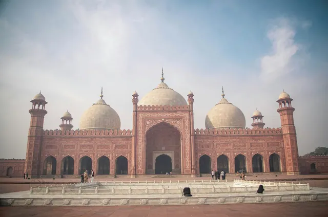 CityMultanMultan is a city of southern Punjab on the Chenab, one of the oldest continuously inhabited places in the region, with a recorded history of more than two thousand years. It is known as the City of Saints for its Sufi shrines, including the 13th-century tomb of Shah Rukn-e-Alam, and for its blue kashi tilework and Saraiki culture.
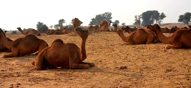 CityBahawalpurBahawalpur is a city in southern Punjab and the former capital of the princely state of Bahawalpur, which existed from 1748 until it acceded to Pakistan in 1947 and was merged into the province in 1955. Its Nawabi palaces include Noor Mahal, completed in 1875, and it is the gateway to the Cholistan desert.
- DesertCholistan DesertCholistan is a desert of about 26,000 square kilometres in southern Punjab, extending from Bahawalpur towards the Indian border, where it continues as the Thar. It follows the dry bed of the Hakra river and holds a chain of medieval mud and brick forts, of which Derawar, with walls about 30 metres high, is the best preserved.