
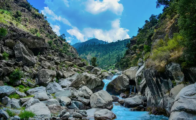
Pine forests
Deodar and blue pine on the valley walls up to 3,000 m.
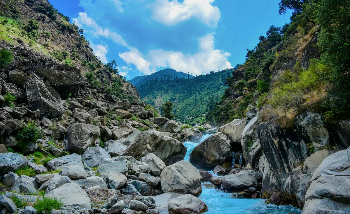
Valley · Khyber Pakhtunkhwa
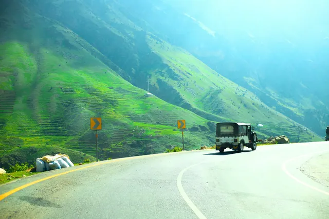
The Kaghan valley runs about 155 kilometres along the Kunhar river in Mansehra district, Khyber Pakhtunkhwa, climbing from roughly 900 metres at Balakot to 4,173 metres at Babusar Pass. Its settlements include Kaghan, Naran and Battakundi, and it holds alpine lakes such as Saif-ul-Malook, Lulusar and Dudipatsar.
The lower valley is forested with pine and deodar; the upper valley is open pasture used by Gujjar herders in summer. Balakot, at the mouth of the valley, was largely destroyed in the 2005 Kashmir earthquake and rebuilt. The Kunhar river is one of Pakistan's better-known trout waters and joins the Jhelum near Muzaffarabad.
Valley gateway on the Kunhar, rebuilt after the 2005 earthquake.
Meadows at about 2,362 m and 3,000 m above Kiwai.
A high lake at about 3,800 m, reached on a full-day walk from Besal.
Source of the Kunhar river at about 3,410 m.
Deodar and blue pine on the valley walls up to 3,000 m.
Meadows above the valley reached by jeep from Kiwai.
The valley's single river, running from Lulusar to Balakot.
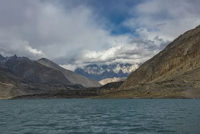
A tear-shaped lake at 4,245 m above Saif-ul-Malook.

Flat minced-beef kebab with tomato and coriander seed, from Mardan.
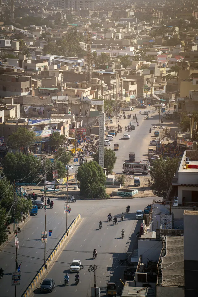
Rice with lamb, carrot and raisin, a Peshawar staple.
Qehwa with cardamom, poured all day in the bazaars.
UNESCO listed Buddhist monastery, first century CE.
One of the world's largest Gandharan sculpture collections.
Bumburet, Rumbur and Birir, with their own calendar and festivals.
Hand-painted trucks and rickshaws, a craft trade worth millions of rupees a year.
Copper, cloth, spice and book markets in every old city.
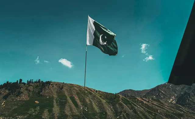
Basant, Urs gatherings, Shandur polo and the Kalash calendar.
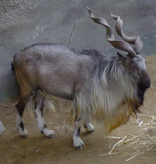
Chitral Gol National Park holds one of the strongest populations.
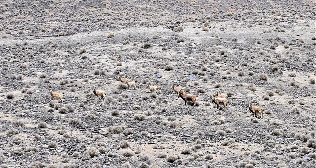
High ridges above Chitral and upper Swat.
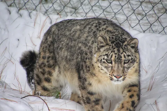
Recorded in Chitral's high side valleys.
May to September for the whole valley; Shogran is reachable most of the year.
About 5 to 6 hours by road from Islamabad to Balakot, then north along the valley road.
Roughly 155 kilometres, from Balakot at about 900 metres to Babusar Pass at 4,173 metres.
Kaghan is the valley and also a village in it; Naran is the larger town further up, used as the main base.
The photo archive is a separate part of Pixistan. Browse images shot in this area once you have read the reference page.
Open the photo archive