
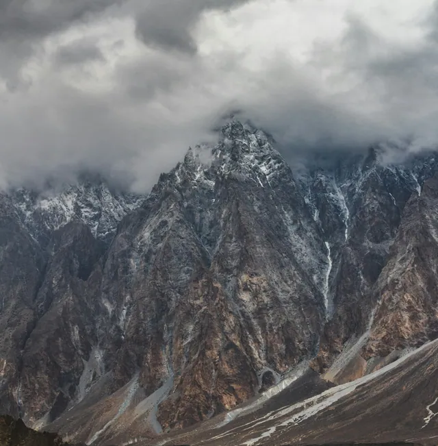
Nanga Parbat
The 8,126 m Killer Mountain fills the southern horizon.
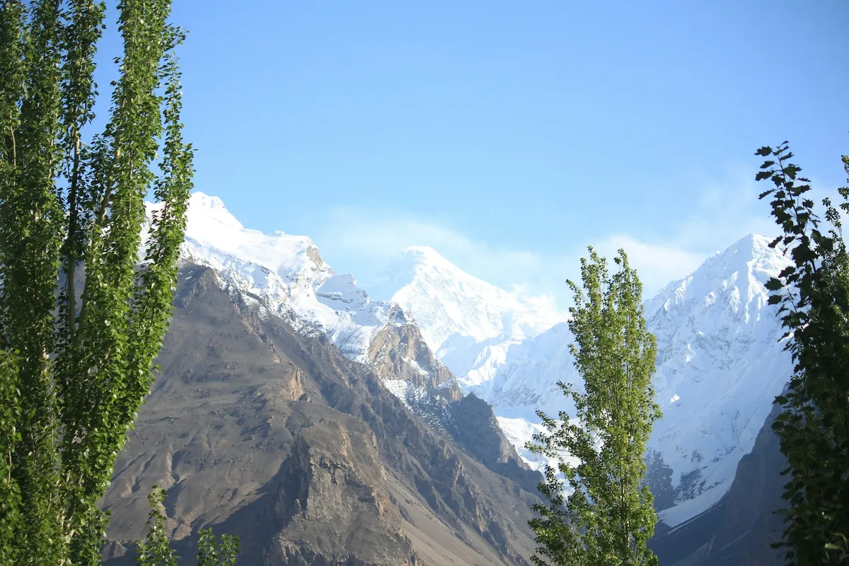
Meadow · Gilgit-Baltistan
Fairy Meadows is an alpine grassland at about 3,300 metres in Diamer district, Gilgit-Baltistan, facing the 8,126 metre north face of Nanga Parbat. German climbers named it Märchenwiese in the 1930s. It is the standard approach to Nanga Parbat base camp, roughly a four-hour walk further up the ridge.
Access is from Raikot Bridge on the Karakoram Highway: a jeep track climbs about 15 kilometres to Tato village, followed by a walk of two to three hours. The meadow is a designated national park area, snowbound from roughly November to April, and served by simple wooden huts and camps. Nanga Parbat's Rupal face on the far side is the highest mountain face on earth at about 4,600 metres of vertical relief.
The clearest unobstructed view of the mountain's north side.
An hour further up, on the way to base camp.
About 4 hours from the meadow at roughly 3,900 m.
The glacier tongue below the north face.
The 8,126 m Killer Mountain fills the southern horizon.
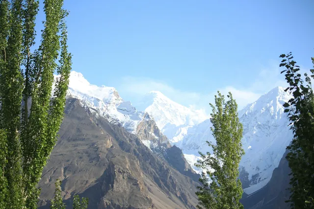
The ice tongue below the meadow, crossed on the base-camp walk.
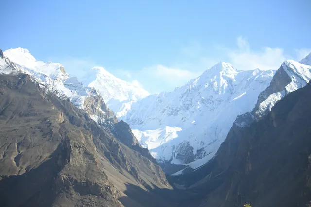
A higher meadow an hour beyond Fairy Meadows.
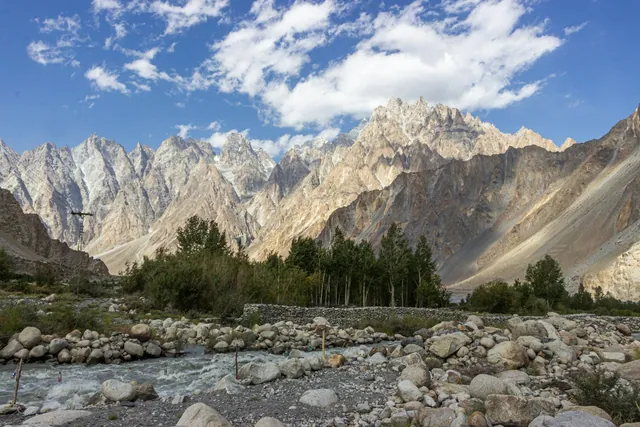
Glacier melt that joins the Indus at Raikot bridge.
Dried on rooftops through August; the oil is pressed for cooking and skin care.

Baltistan's meat-filled flatbread, cooked on an iron griddle.
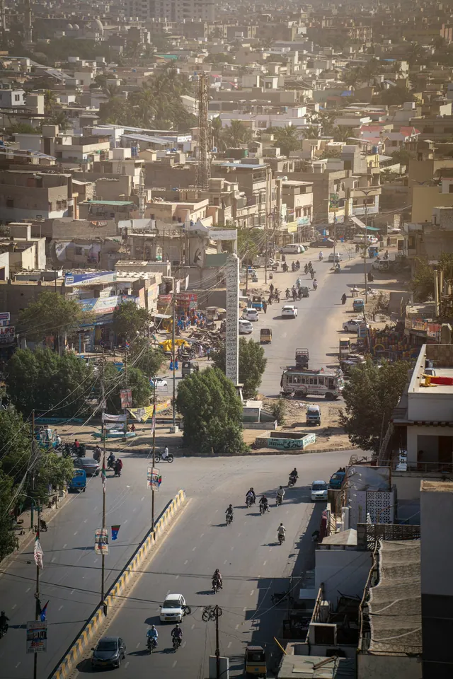
Namkeen chai churned with butter, drunk all day in Skardu and Khaplu.
700 years old above Karimabad, restored in 1996 and open as a museum.

Roughly 1,100 years old, with a royal garden below it.
Thousands of Buddhist-era petroglyphs along the Indus near Chilas.
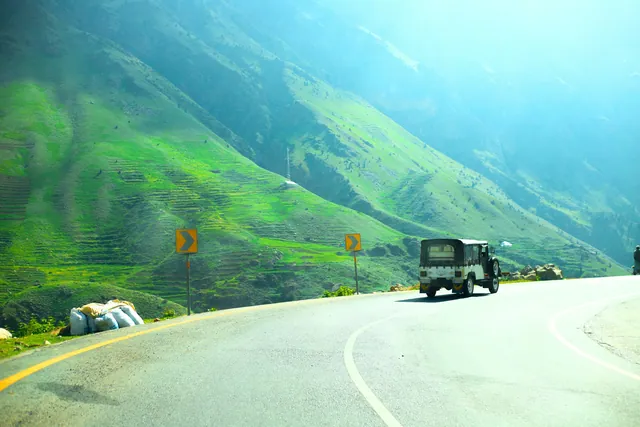
Hand-painted trucks and rickshaws, a craft trade worth millions of rupees a year.
Copper, cloth, spice and book markets in every old city.

Basant, Urs gatherings, Shandur polo and the Kalash calendar.
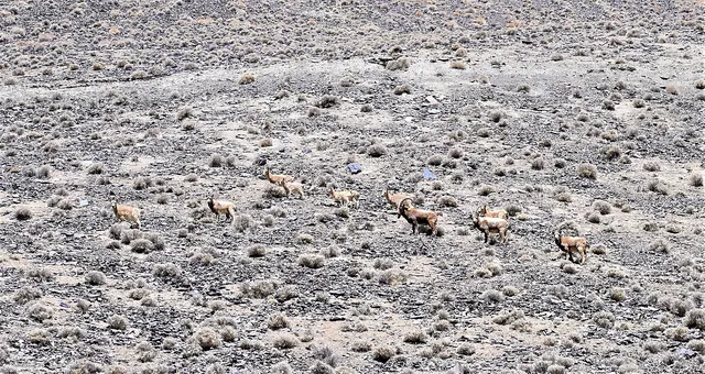
Seen on the ridges above Beyal in early morning.
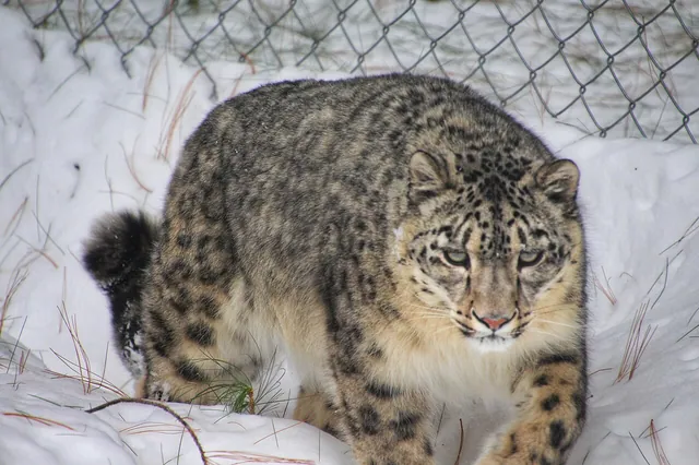
Recorded on camera traps around the Raikot valley.
May to October; June to September for reliable weather.
Roughly 8 to 10 hours by road from Islamabad to Raikot Bridge, then jeep and a 2 to 3 hour walk.
Two to three hours uphill from Tato village, after a jeep ride of about 15 kilometres from Raikot Bridge.
Yes. The meadow directly faces the 8,126 metre north face, weather permitting.
The photo archive is a separate part of Pixistan. Browse images shot in this area once you have read the reference page.
Open the photo archive