
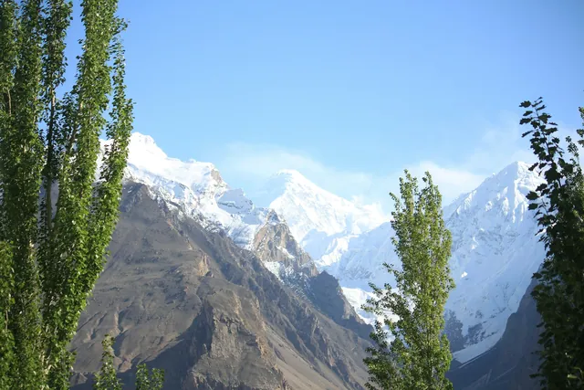
Rakaposhi
7,788 m, seen head-on from the Karakoram Highway at Ghulmet.
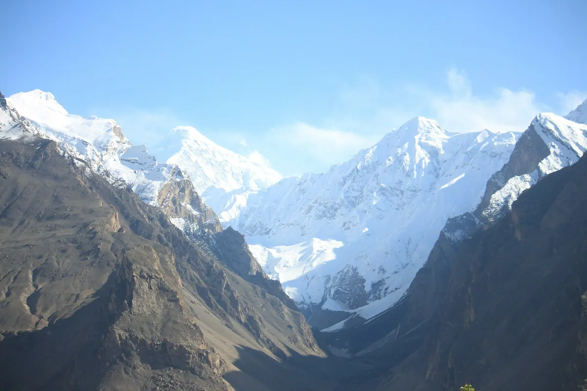
Valley · Gilgit-Baltistan
Hunza is a mountain valley in Gilgit-Baltistan, northern Pakistan, sitting between about 2,000 and 2,500 metres along the Hunza river and the Karakoram Highway. It is known for Baltit and Altit forts, apricot terraces, and a ring of peaks including Rakaposhi at 7,788 metres and Ultar Sar at 7,388 metres.
Hunza was a princely state until 1974, ruled by the Mir of Hunza from Baltit Fort, a 700-year-old structure above Karimabad that was restored in the 1990s and is now a museum. The valley's population is largely Burushaski, Wakhi and Shina speaking, and literacy rates here are among the highest in Pakistan. The Karakoram Highway runs the length of the valley, crossing Attabad Lake, formed by a landslide that dammed the Hunza river in January 2010.
Former seat of the Mir of Hunza, restored 1996, open as a museum.
Older than Baltit, roughly 1,100 years, with a royal garden below it.
A 21 km landslide lake on the Hunza river, crossed by the KKH tunnels.
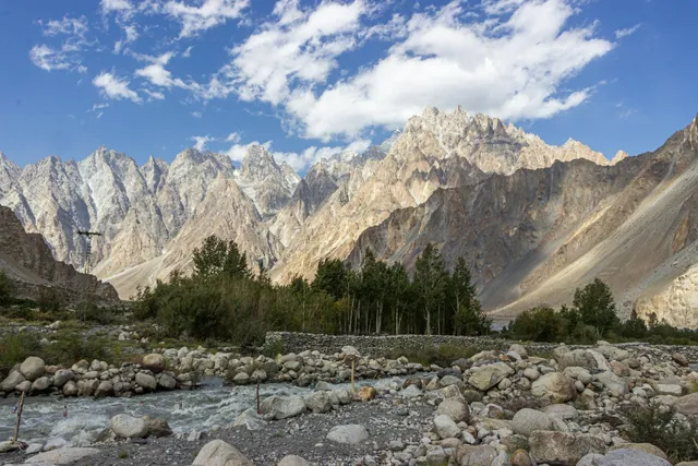
The serrated Tupopdan ridge above Passu village, 6,106 m.
The Pakistan-China border crossing at 4,693 m, about 3 hours further north.
7,788 m, seen head-on from the Karakoram Highway at Ghulmet.
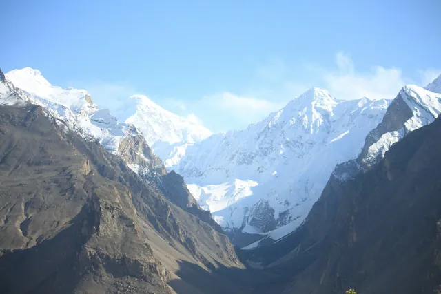
The serrated Tupopdan ridge, 6,106 m, above Passu village.
The high pasture above Karimabad, reached on a three-hour walk.
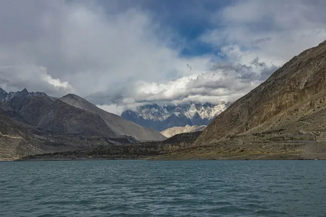
A 21 km landslide lake formed in January 2010 on the Hunza river.
Fed by the Batura and Passu glaciers, grey with rock flour in summer.
A shallow brackish lake below the Passu glacier, a stop for migrating ducks.
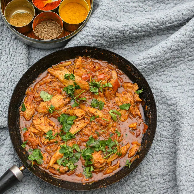
Dried on rooftops through August; the kernels are pressed for oil.
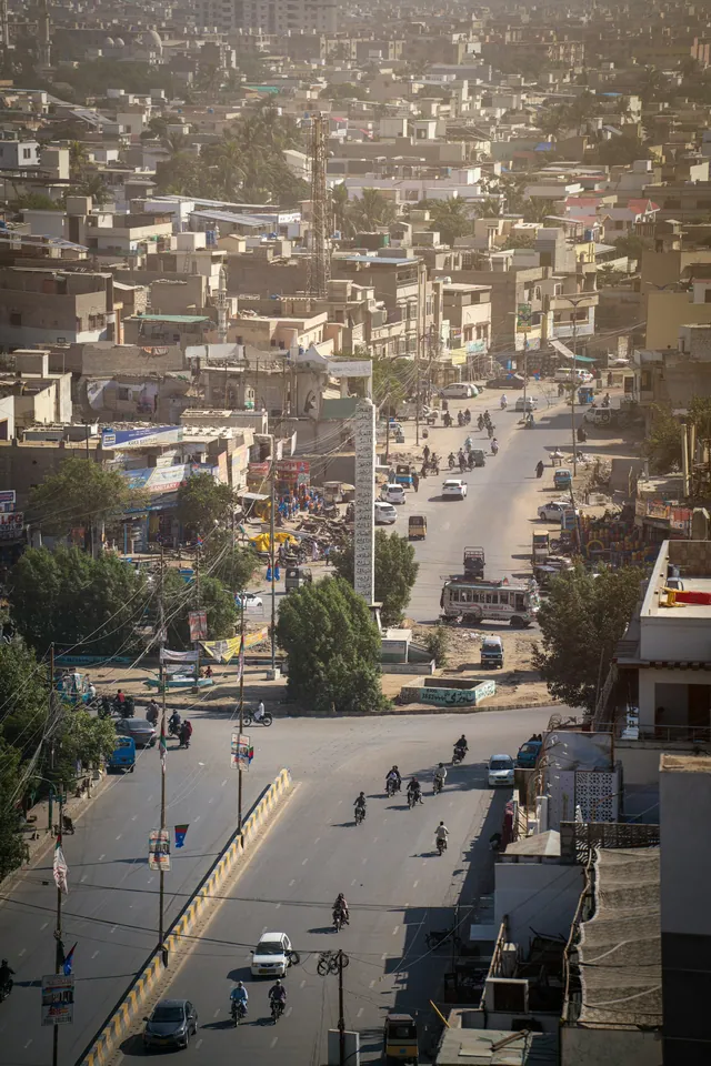
A baked meat pastry eaten across Hunza and Nagar.
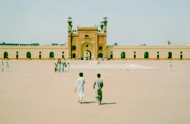
Whole-wheat bread with walnuts and apricot oil, served with salt tea.
Seat of the Mir of Hunza, restored in 1996 and open as a museum.
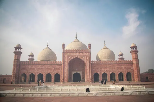
Roughly 1,100 years old, with the royal garden below it.
Wooden mosques and a stepped water tank, a UNESCO award-winning restoration.
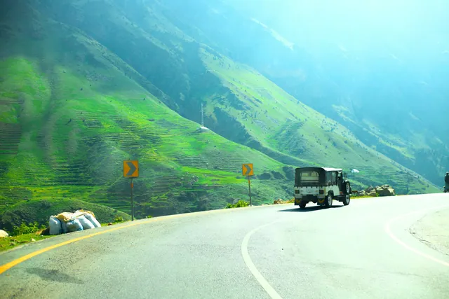
Hand-painted trucks and rickshaws, a craft trade worth millions of rupees a year.
Copper, cloth, spice and book markets in every old city.
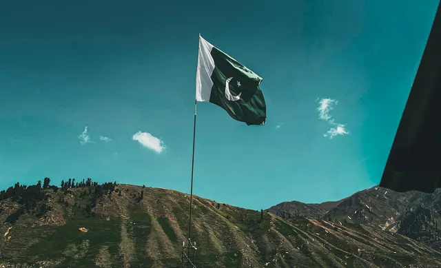
Basant, Urs gatherings, Shandur polo and the Kalash calendar.
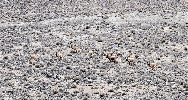
Himalayan ibex on the slopes above Shimshal and Chapursan.
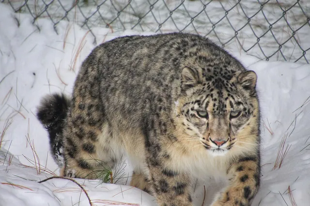
Present in Khunjerab National Park; rarely seen.
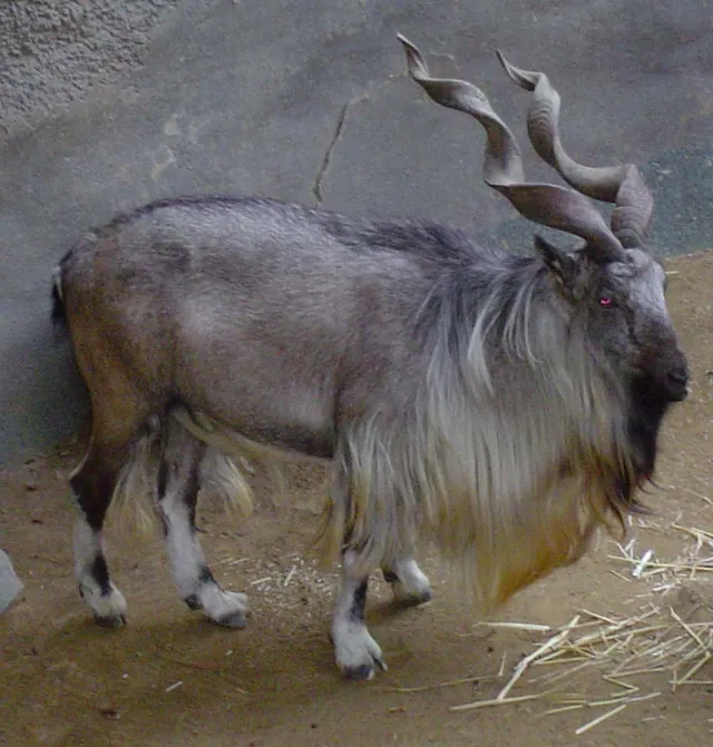
Pakistan's national animal, protected under community trophy quotas.
April for blossom, June to September for clear weather, late October for autumn colour.
About 2 hours by road from Gilgit on the Karakoram Highway, or 20 to 24 hours by road from Islamabad.
Karimabad, the main settlement, sits at about 2,438 metres; the valley floor ranges from roughly 2,000 to 2,500 metres.
No. A standard Pakistani visa covers Hunza. A permit is only required beyond Khunjerab for border crossings.
The photo archive is a separate part of Pixistan. Browse images shot in this area once you have read the reference page.
Open the photo archive