K2
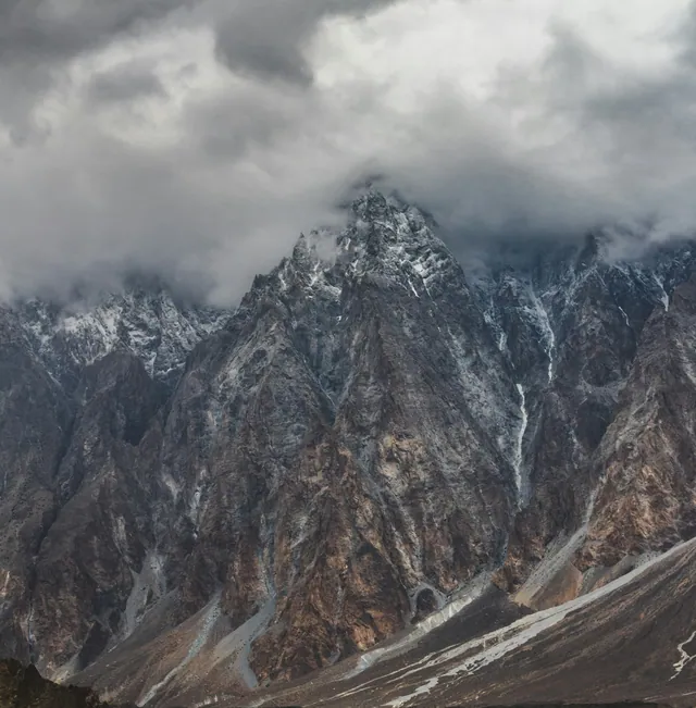
8,611 m, the second-highest mountain on Earth, on the Baltoro side of the Karakoram.
Territory · Gilgit-Baltistan
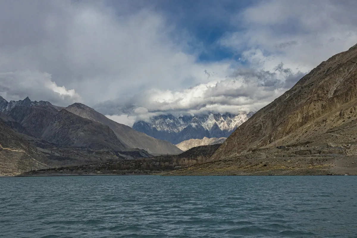
Gilgit-Baltistan is the northernmost administrative territory of Pakistan, covering about 72,971 square kilometres where the Karakoram, Himalaya and Hindu Kush ranges meet. It contains five peaks above 8,000 metres, including K2 at 8,611 metres, and some of the largest glaciers outside the polar regions.
The territory has ten districts and a population of roughly two million. Gilgit and Skardu are the two main towns. The Karakoram Highway, completed in 1978, connects it to the rest of Pakistan and to China over the Khunjerab Pass at 4,693 metres. Languages include Shina, Balti, Burushaski, Wakhi and Khowar. Most settlement sits in irrigated valleys below 3,000 metres, with high pastures used seasonally.
1,300 km from Hasan Abdal to the Chinese border.
Plateau at about 4,114 m, protected since 1993.
Pakistan's largest national park, about 10,000 sq km.
Former princely states facing each other across the river.
Baltistan valleys with restored 17th-century palaces.
8,611 m, the second-highest mountain on Earth, on the Baltoro side of the Karakoram.
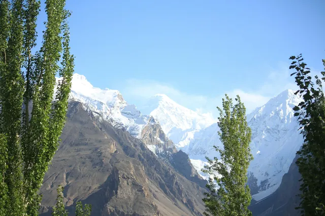
The densest concentration of high peaks anywhere in the world.
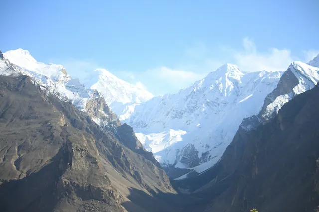
Terraces and orchards between 2,000 and 2,500 m along the KKH.
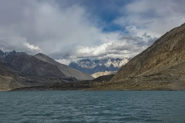
Formed in January 2010 when a landslide dammed the Hunza river; 21 km long.
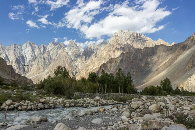
Cuts the valley from Khunjerab down to its meeting with the Gilgit river.
Baltoro, Biafo and Hispar feed the Indus through the summer.
Dried on rooftops through August; the oil is pressed for cooking and skin care.

Baltistan's meat-filled flatbread, cooked on an iron griddle.
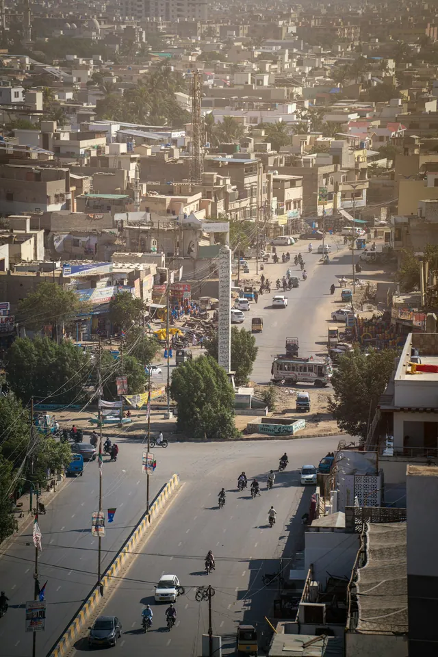
Namkeen chai churned with butter, drunk all day in Skardu and Khaplu.
700 years old above Karimabad, restored in 1996 and open as a museum.
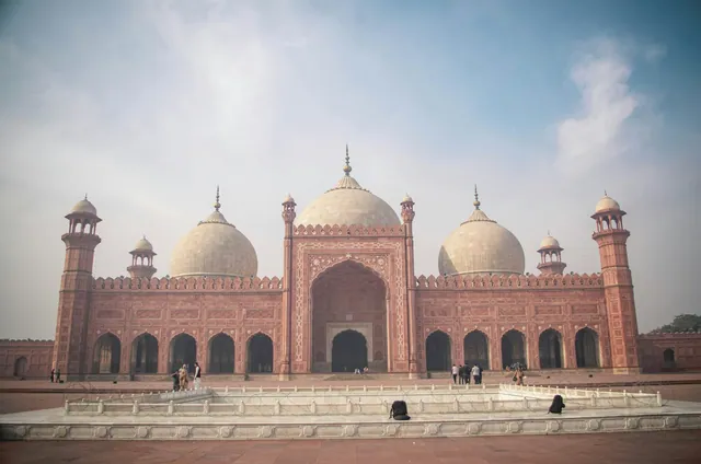
Roughly 1,100 years old, with a royal garden below it.
Thousands of Buddhist-era petroglyphs along the Indus near Chilas.
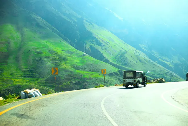
Hand-painted trucks and rickshaws, a craft trade worth millions of rupees a year.
Copper, cloth, spice and book markets in every old city.
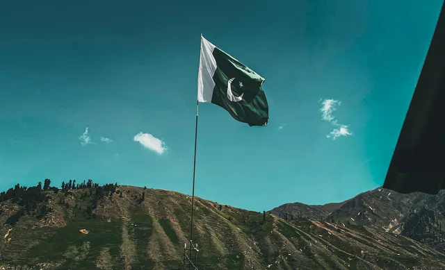
Basant, Urs gatherings, Shandur polo and the Kalash calendar.
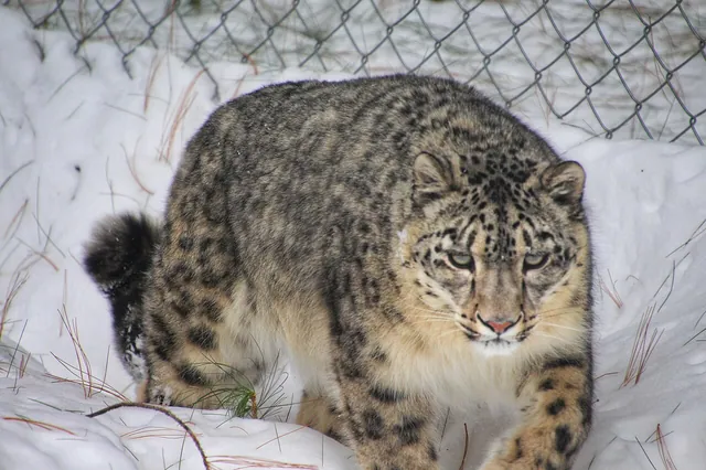
Tracked in Khunjerab and Deosai; a few hundred remain nationwide.
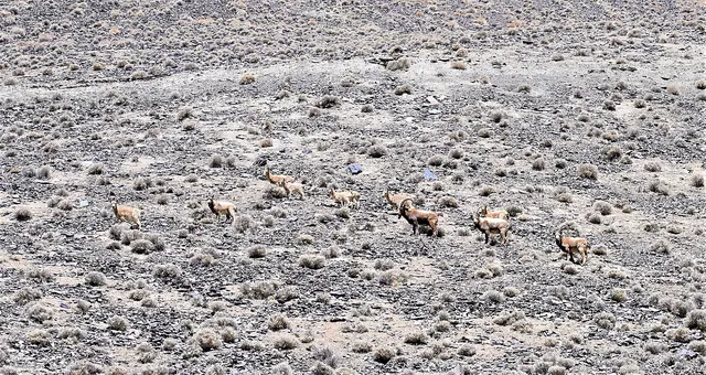
Winter herds on the cliffs above Passu and Shimshal.
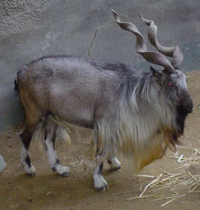
The national animal, protected by community conservancies here.
May to October for the valleys; winter access is limited by snow on high passes.
By air to Gilgit or Skardu from Islamabad, or by road on the Karakoram Highway.
It is an administrative territory with its own assembly, not a constitutional province of Pakistan.
Five: K2, Nanga Parbat, Gasherbrum I, Broad Peak and Gasherbrum II.
The photo archive is a separate part of Pixistan. Browse images shot in this area once you have read the reference page.
Open the photo archive