
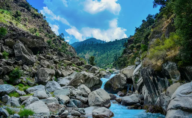
Margalla Hills
A 12,605-hectare national park at the city's northern edge.
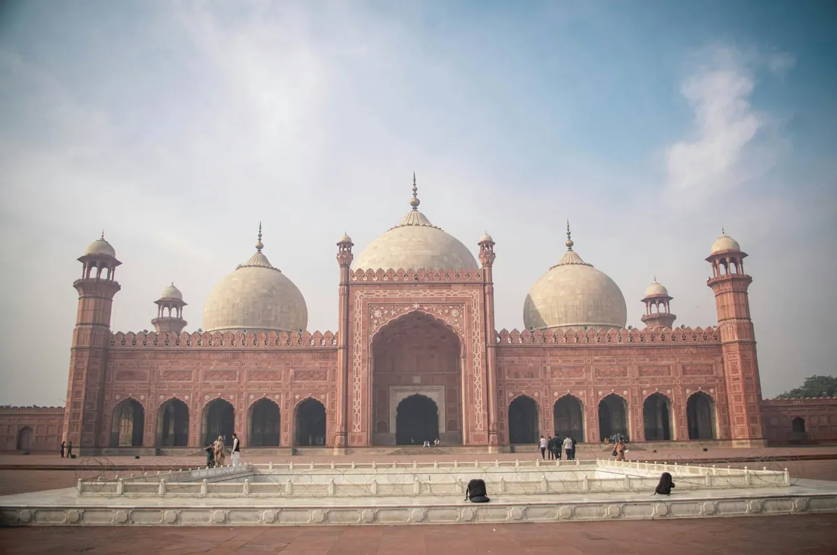
City · Islamabad Capital Territory
Islamabad is the capital of Pakistan, a planned city built from 1960 at the foot of the Margalla Hills in the Islamabad Capital Territory, which covers about 906 square kilometres. It was designed on a grid of numbered sectors by the Greek planner Constantinos Doxiadis and replaced Karachi as the capital in 1966.
The city is laid out in lettered and numbered sectors, each roughly two kilometres square, with the Margalla Hills National Park forming its northern edge. Faisal Mosque, completed in 1986 to a design by Vedat Dalokay, holds about 100,000 worshippers and is the largest mosque in Pakistan. Rawalpindi, the older garrison city, adjoins it to the south, and the two function as a single metropolitan area.
Tent-form mosque below the Margallas, completed 1986.
Trails 3, 5 and 6 rise to Pir Sohawa at about 1,170 m.
Petal-shaped monument and museum on Shakarparian.
National institute of folk and traditional heritage.
A restored Mughal-era village inside the city limits.
A 12,605-hectare national park at the city's northern edge.
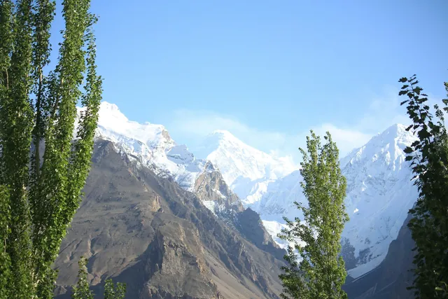
A ridge road at 1,170 m above Daman-e-Koh.
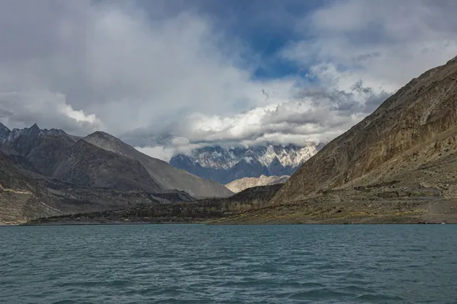
A reservoir on the Korang river supplying the twin cities.
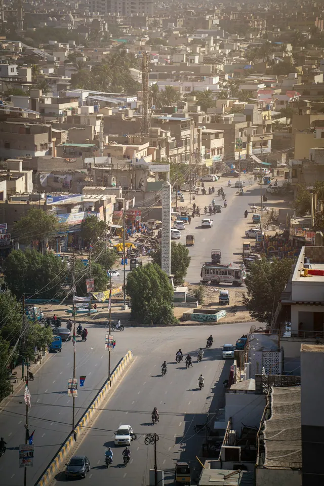
Restored Mughal-era village turned into a food street.

Old-sector markets for chaat, halwa puri and kebab.
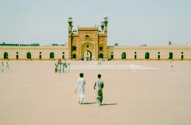
Daman-e-Koh and Pir Sohawa look out over the whole grid.
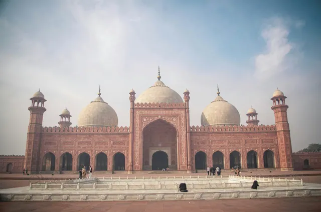
Completed in 1986 with a 5,000 m² prayer hall.
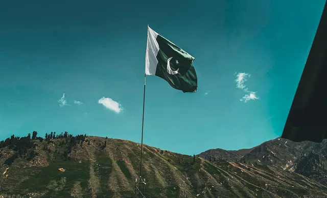
Four granite petals for the four provinces, opened 2007.
A restored Mughal-era village on the Margalla slope.
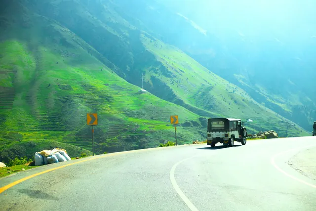
Hand-painted trucks and rickshaws, a craft trade worth millions of rupees a year.
Copper, cloth, spice and book markets in every old city.
Basant, Urs gatherings, Shandur polo and the Kalash calendar.
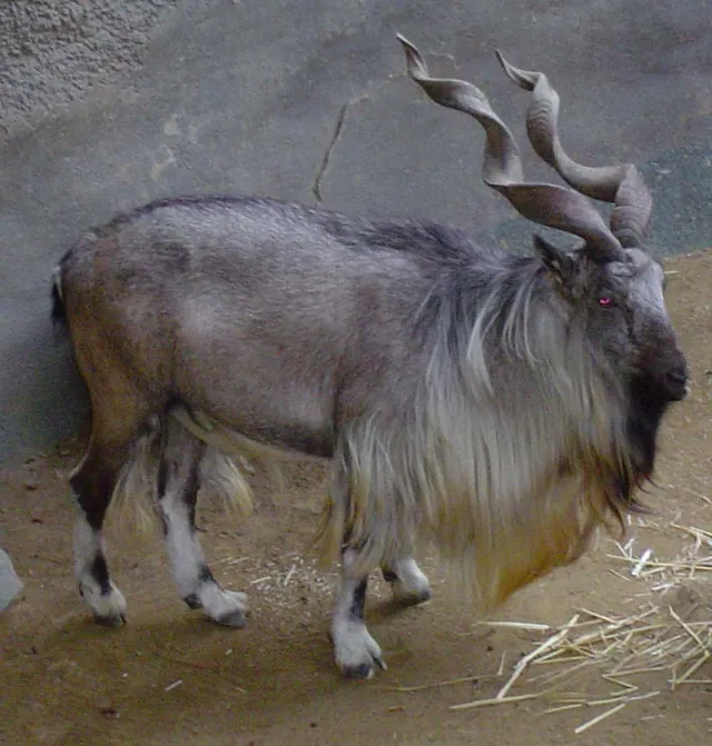
The national animal, a wild goat of the northern ranges.
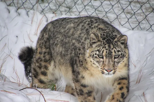
Roughly 200–420 remain in the Karakoram, Himalaya and Hindu Kush.
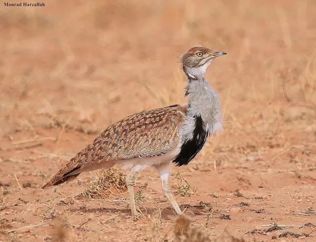
A winter migrant to the deserts of Balochistan and Cholistan.
February to April and September to November.
Islamabad International Airport, the M-1 and M-2 motorways, and rail via Rawalpindi.
Construction began in 1960 and Islamabad formally replaced Karachi as the capital in 1966.
Taxila, about 35 kilometres west, and Murree and the Galiyat, about 1.5 to 2 hours north.
The photo archive is a separate part of Pixistan. Browse images shot in this area once you have read the reference page.
Open the photo archive