
Mountains of Pakistan
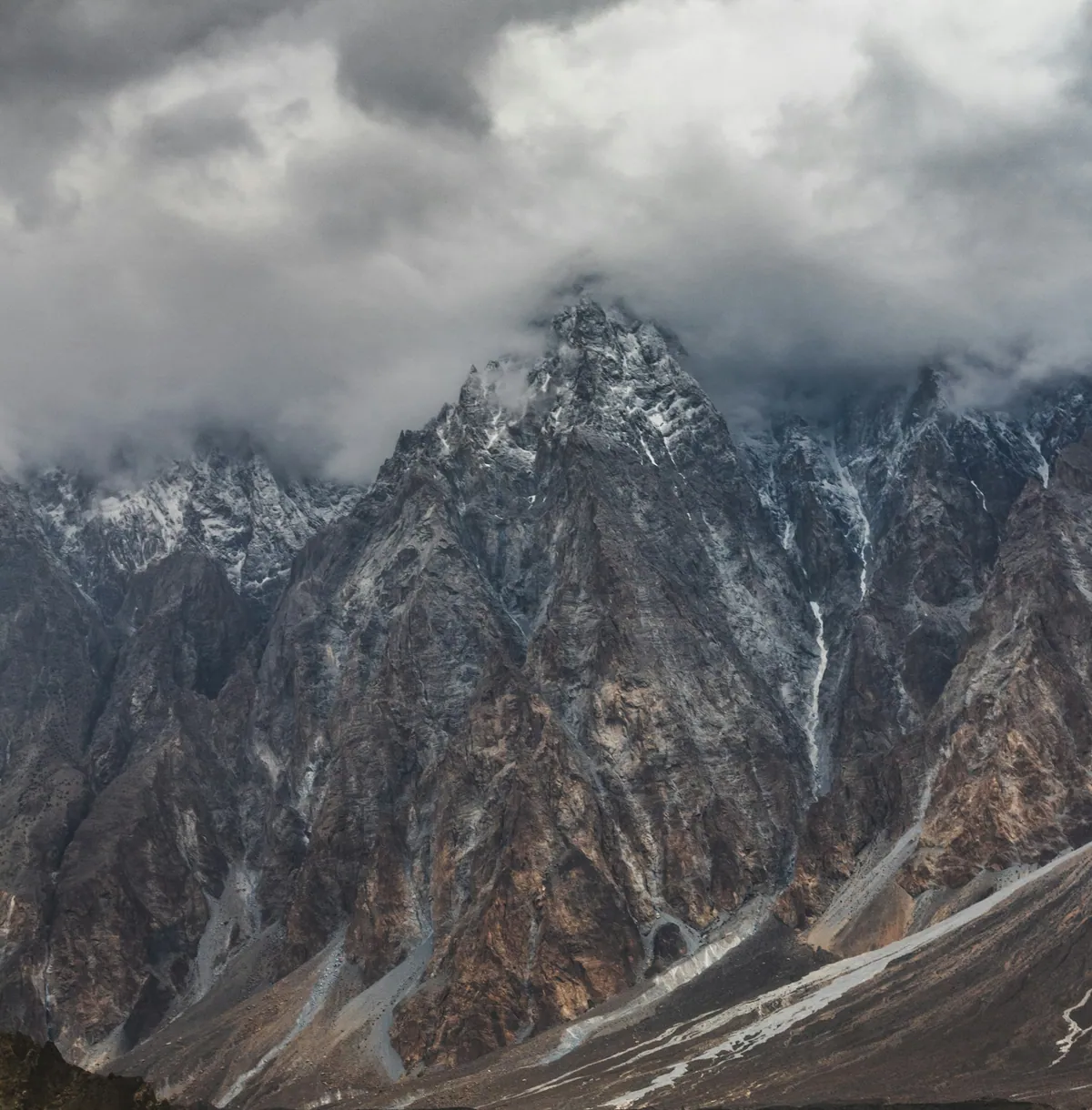
Pakistan contains five of the world's fourteen peaks above 8,000 metres and more than 100 peaks above 7,000 metres, spread across three great ranges that meet near Jaglot: the Karakoram, the Himalaya and the Hindu Kush. K2, at 8,611 metres, is the second highest mountain on Earth. This cluster covers peaks, ranges, passes and glaciers.
Outside the polar regions, the Karakoram holds the largest concentration of glacial ice on the planet, including Baltoro, Biafo and Batura. Mountain pages carry elevation, first-ascent history, access routes and the season in which each place is reachable.
Quick facts
- Peaks above 8,000 m
- 5
- Highest peak
- K2, 8,611 m
- Highest paved border crossing
- Khunjerab Pass, 4,693 m
What this section covers
- Eight-thousanders
K2, Nanga Parbat, Gasherbrum I and II, Broad Peak
- Ranges
Karakoram, Himalaya, Hindu Kush, Sulaiman, Salt Range
- Glaciers
Baltoro, Biafo, Hispar, Batura, Passu
- Passes
Khunjerab, Babusar, Shandur, Lowari, Broghil
- Trekking routes
Concordia, Fairy Meadows, Rakaposhi base camp
In this section
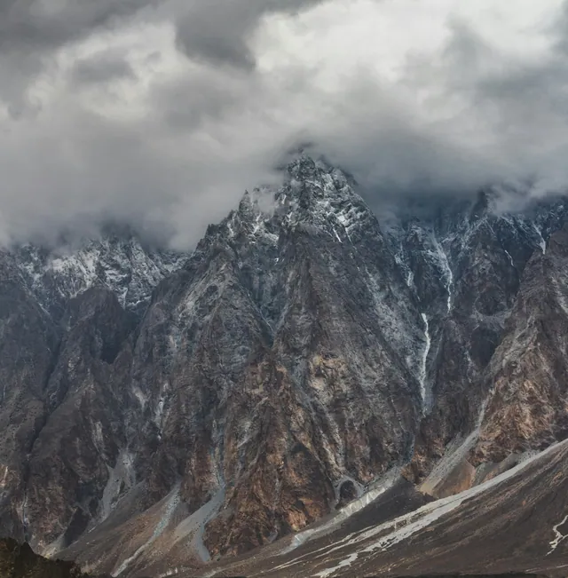 Pakistan's 8,000 metre peaksPakistan contains five of the world's fourteen peaks above 8,000 metres: K2 at 8,611 metres, Nanga Parbat at 8,126 metres, Gasherbrum I at 8,080 metres, Broad Peak at 8,051 metres and Gasherbrum II at 8,035 metres. Four stand in the Karakoram; Nanga Parbat anchors the western end of the Himalaya.
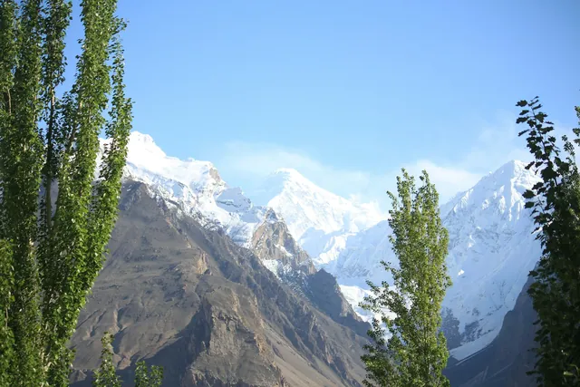 The three great rangesThree of the world's major mountain systems meet in northern Pakistan: the Karakoram, the Himalaya and the Hindu Kush. Their junction lies near Jaglot in Gilgit-Baltistan, where the Gilgit river joins the Indus. Pakistan also holds the Sulaiman range in the west and the Kirthar range along the Sindh-Balochistan border.
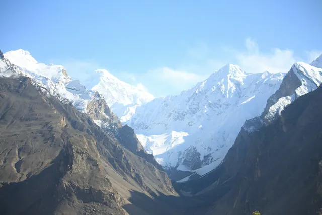 Mountain passes and high roadsPakistan's mountain passes carry both history and traffic. Khunjerab Pass, at 4,693 metres, is the highest paved international border crossing in the world; Babusar Pass reaches 4,173 metres, Shandur about 3,700 metres, and the Khyber Pass at 1,070 metres has been the main route between Kabul and the Indus plain for centuries.
Pages in mountains
- K2
K2 is the second highest mountain on Earth at 8,611 metres, standing on the border between Gilgit-Baltistan in Pakistan and the Xinjiang region of China. It anchors the Karakoram range above the Baltoro Glacier, and its steep pyramid shape, thin weather windows and severe winter conditions make it far harder to climb than Everest despite being lower.
Key dates and milestones
| When | What happened |
|---|---|
| 1856 | K2 surveyed and numbered by the Great Trigonometrical Survey |
| 1953 | Nanga Parbat first climbed by Hermann Buhl, solo and without oxygen |
| 1954 | K2 first climbed by an Italian expedition |
| 1978 | The Karakoram Highway opens over Khunjerab Pass |
| 2021 | First winter ascent of K2, by a Nepali team |
Practical notes
- Trekking season in the Karakoram runs roughly June to early September.
- Above 2,500 metres, ascend slowly and build in a rest day at Gilgit or Skardu.
- Foreign climbers need a permit and, for peaks above 6,500 metres, a royalty payment and liaison officer.
Where in Pakistan
Gilgit-Baltistan · Khyber Pakhtunkhwa · Azad Jammu and Kashmir
Frequently asked questions
- How many 8,000 metre peaks are in Pakistan?
- Five: K2 (8,611 m), Nanga Parbat (8,126 m), Gasherbrum I (8,080 m), Broad Peak (8,051 m) and Gasherbrum II (8,035 m). All but Nanga Parbat lie in the Karakoram.
- Where do the Karakoram, Himalaya and Hindu Kush meet?
- Near Jaglot in Gilgit-Baltistan, at the confluence of the Indus and Gilgit rivers, where a roadside viewpoint marks the junction of the three ranges.
- What is the highest paved border crossing in the world?
- Khunjerab Pass at 4,693 metres, on the Karakoram Highway between Pakistan and China. It is normally closed from November to April because of snow.