
Deserts
Cholistan and the Hakra river
Cholistan is a desert of about 26,000 square kilometres in southern Punjab, formed along the dry bed of the Hakra river. Around 400 archaeological sites have been recorded along that course, many contemporary with the Indus Valley Civilisation, and a chain of mud and brick forts including Derawar guards the old route.
Quick facts
- Area
- About 26,000 sq km
- Recorded sites
- Around 400 along the Hakra bed
- Derawar Fort
- Walls about 30 m, 40 bastions
- Local name
- Rohi
Background
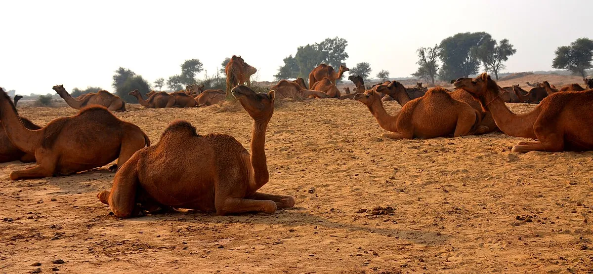
The Hakra is generally identified with a river system that dried up in the second millennium BCE, and the density of settlement along its bed is one of the strongest arguments that the river once carried permanent water. Today the desert supports camel and cattle herding based on tobas, rainwater ponds, with the February jeep rally near Derawar its best-known modern event.
Key entries
- Derawar Fort
The best-preserved of the Cholistan forts.
- Hakra sites
Settlement mounds along the dead river course.
- Tobas
Rainwater ponds that fix the herding routes.
- Cholistan Jeep Rally
Held every February near Derawar.
Frequently asked questions
- What was the Hakra river?
- A river system whose dry bed runs through Cholistan; it dried up in the second millennium BCE, leaving hundreds of settlement sites along its course.
- How do people live in Cholistan?
- Mainly by herding camels, cattle and sheep, moving between tobas, the rainwater ponds that hold the season's water.