Margalla Hills
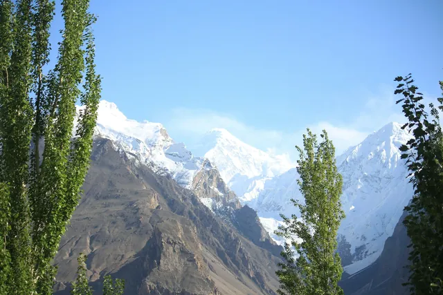
12,605 hectares of national park along the city's northern edge.
Region of Pakistan
The purpose-built capital — Margallas, Faisal Mosque, and a green city grid.
Islamabad was laid out in 1960 by the Greek planner Constantinos Doxiadis as a grid of numbered sectors against the Margalla Hills. It replaced Karachi as the capital in 1967.
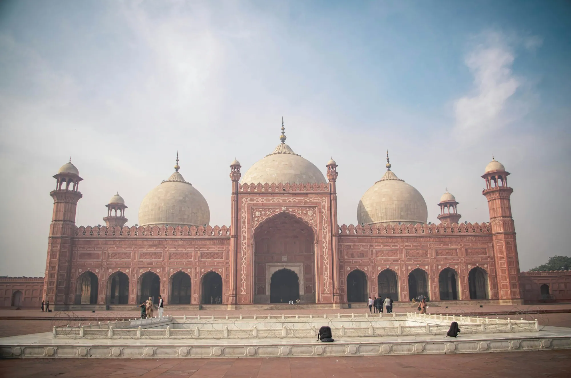
Faisal Mosque, finished in 1986 to a Turkish design, has no dome: it is shaped like a Bedouin tent under four 79-metre minarets, with room for about 100,000 people across its grounds.
Margalla Hills National Park, 12,605 hectares, starts where the city ends — Trail 3 and Trail 5 climb straight from a residential sector into leopard and porcupine country.
12,605 hectares of national park along the city's northern edge.
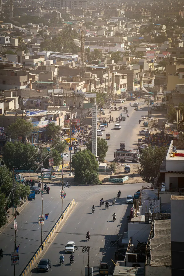
A planned city of numbered sectors, each with its own market.
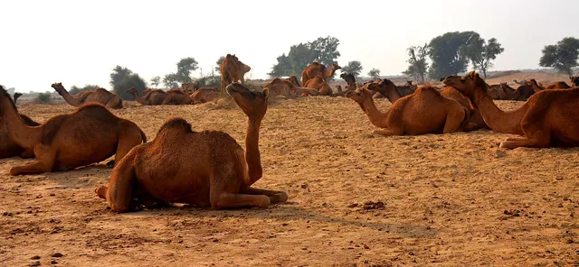
The dry, fossil-rich uplands surrounding the capital.
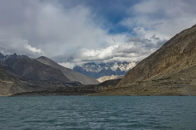
Reservoir of 8.8 km², built in the 1960s for the city's water.
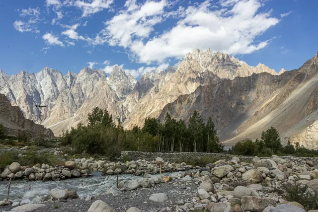
Fed by the Soan river from the Murree hills.
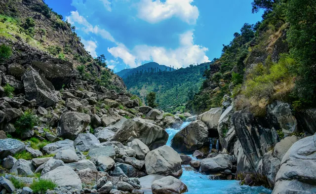
Seasonal nullahs that run hard through the monsoon.
Restored Mughal-era village turned into a food street.

Old-sector markets for chaat, halwa puri and kebab.
Daman-e-Koh and Pir Sohawa look out over the whole grid.
Completed 1986; tent-shaped hall under four 79 m minarets.
Four granite petals for the four provinces, opened 2007.
The national folk heritage museum in Shakarparian.
Hand-painted trucks and rickshaws, a craft trade worth millions of rupees a year.
Copper, cloth, spice and book markets in every old city.
Basant, Urs gatherings, Shandur polo and the Kalash calendar.
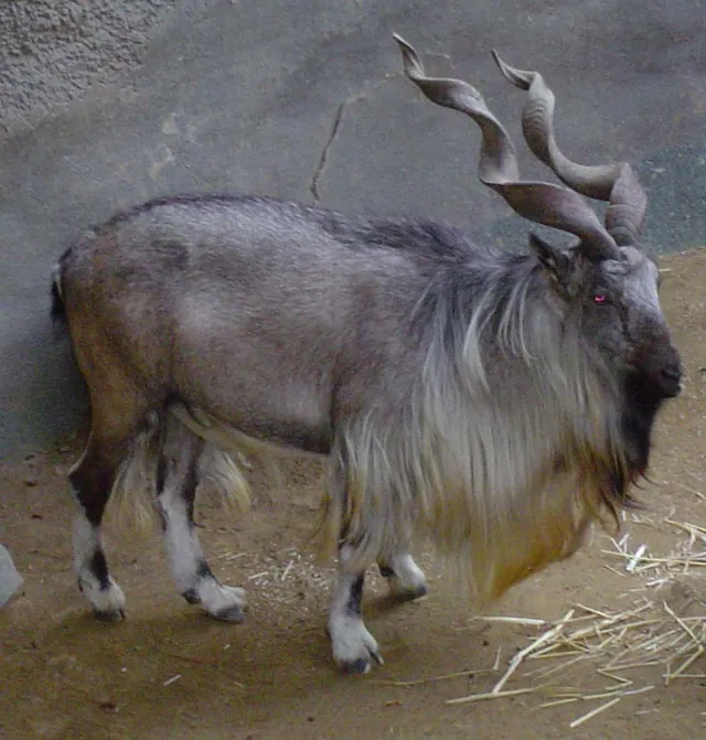
The national animal, a wild goat of the northern ranges.
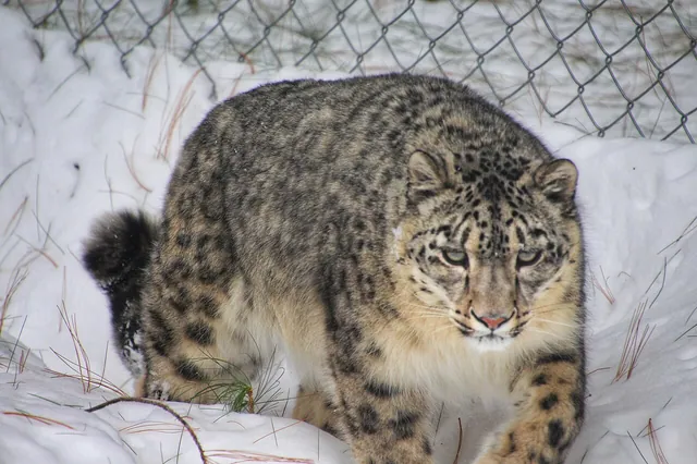
Roughly 200–420 remain in the Karakoram, Himalaya and Hindu Kush.
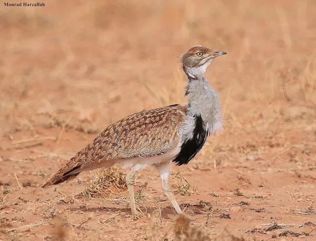
A winter migrant to the deserts of Balochistan and Cholistan.
Each one opens its own page: its story, rivers and lakes, food, heritage, culture, wildlife and what to see.
Partition displaced 14 million people — the largest migration in human history. Karachi served as Pakistan's first capital until Islamabad was inaugurated (1967). The 1965 Indo-Pak war was fought largely across the Punjab plains. In 1971, East Pakistan became Bangladesh.
The Karakoram Highway (opened 1978) connected Gilgit-Baltistan to China via the Khunjerab Pass at 4,693 m — the highest paved border crossing on Earth. Pakistan tested nuclear weapons in 1998 at Chagai (Balochistan). Today Pakistan is the world's fifth most populous country with 240 million people.
No photographs published from Islamabad yet.
March to May and September to November. Summers reach 40 °C, winters can freeze.
Islamabad International Airport connects to 40+ cities. Rawalpindi railway station is the main rail hub.
No permits required. Standard visa is enough.
The purpose-built capital — Margallas, Faisal Mosque, and a green city grid.
Every Islamabad photograph on Pixistan is shot on location by a Pakistani photographer. Pixistan does not accept AI-generated or agency stock imagery.
Full-resolution files in PKR.
Browse galleryPhotos, films, guides and stories.
Open category