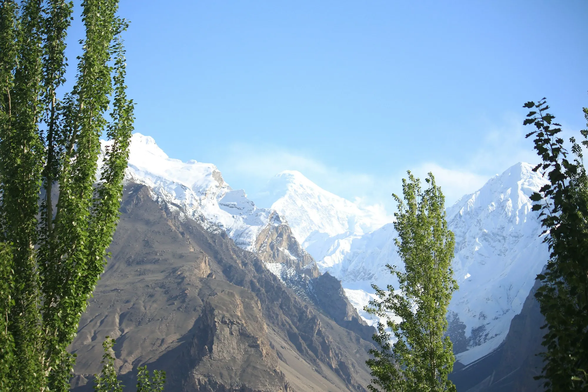
Hingol
Pakistan's largest national park, with mud volcanoes and eroded rock towers.
Region of Pakistan
Pakistan's largest and least-photographed province — deserts, coast, and dark skies.
Balochistan covers 347,190 km² — 44 per cent of Pakistan — with about 6 per cent of its people. It is the least photographed province and the emptiest, which is exactly why the night sky and the coast look the way they do.
Hingol National Park, 6,190 km², holds the Princess of Hope rock pillar, the so-called Sphinx of Balochistan and the Chandragup mud volcanoes. The Makran Coastal Highway runs 653 km from Karachi to Gwadar past all of it.
Inland, Quetta sits at 1,680 metres ringed by the Chiltan and Takatu hills, and Ziarat holds the second-largest juniper forest in the world, some trees over 4,000 years old.
Pakistan's largest national park, with mud volcanoes and eroded rock towers.
653 km of highway between cliffs and the Arabian Sea.
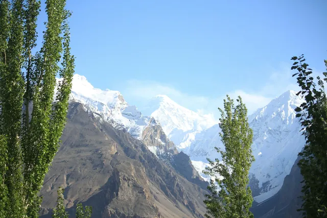
About 110,000 hectares of juniper, some trees millennia old.
Pakistan's largest offshore island, 39 km from Pasni.
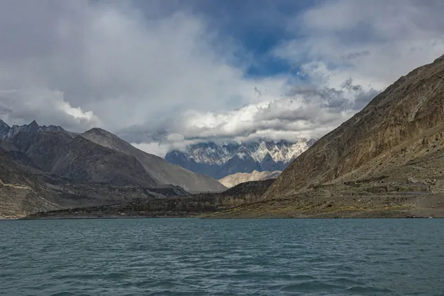
Reservoir outside Quetta, built in 1894.
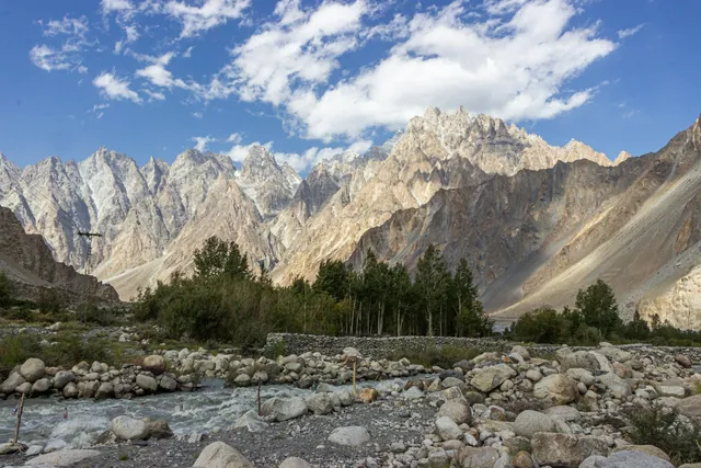
One of the province's few perennial rivers, reaching the sea in the park.

Whole lamb or chicken salted and roasted upright beside a wood fire.
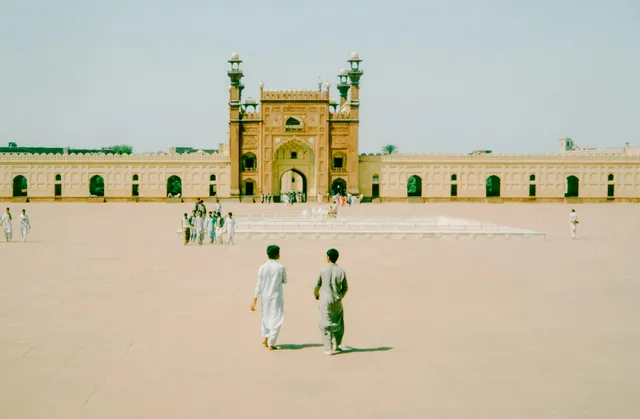
Stone-baked bread cooked against hot rocks.
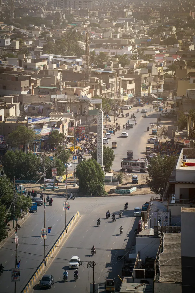
Apples, grapes, cherries and almonds from the highland orchards.
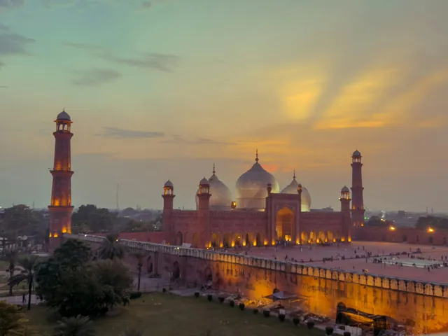
Badshahi Mosque, Lahore Fort and Shalimar Gardens, built 1556–1707.
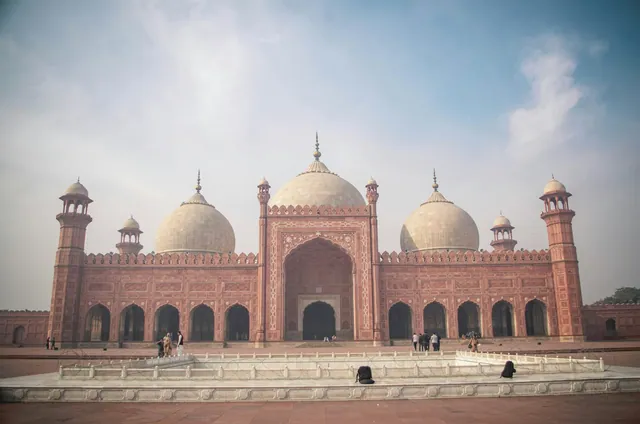
Blue Multani tiles and carved domes across Punjab and Sindh.
Rohtas, Derawar, Baltit and Ranikot, the largest fort wall in the world.
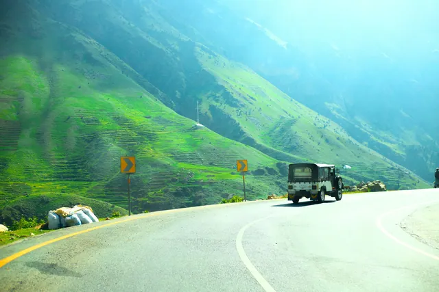
Hand-painted trucks and rickshaws, a craft trade worth millions of rupees a year.
Copper, cloth, spice and book markets in every old city.
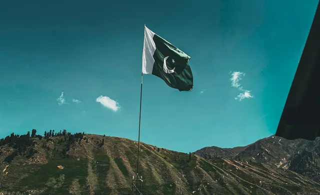
Basant, Urs gatherings, Shandur polo and the Kalash calendar.
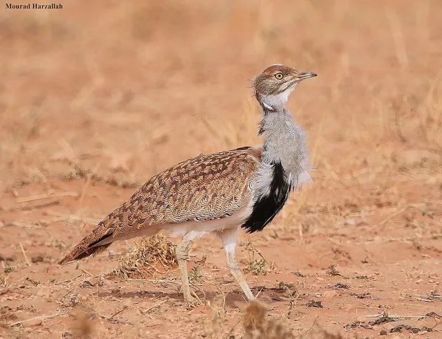
Winter migrant across the Chagai and Kharan deserts.
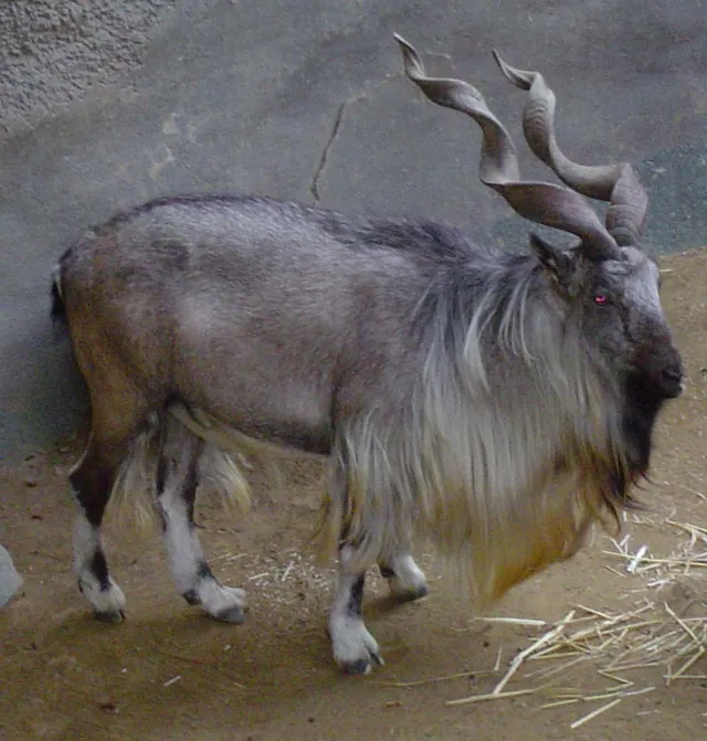
A distinct straight-horned subspecies in Torghar.
Nesting beaches at Astola and along the Makran coast.
Each one opens its own page: its story, rivers and lakes, food, heritage, culture, wildlife and what to see.
The British built the Karachi–Lahore–Peshawar rail network, the Sukkur Barrage (1932) and the world's largest contiguous canal system in Punjab. The North-West Frontier Province and the tribal agencies became the front line of the Great Game with Russia, and the Khyber Pass was fortified against Afghanistan.
The Karakoram Highway (opened 1978) connected Gilgit-Baltistan to China via the Khunjerab Pass at 4,693 m — the highest paved border crossing on Earth. Pakistan tested nuclear weapons in 1998 at Chagai (Balochistan). Today Pakistan is the world's fifth most populous country with 240 million people.
No photographs published from Balochistan yet.
October to March. Summers on the coast are humid; the highlands can snow in January.
Quetta has domestic flights from Karachi, Lahore and Islamabad. The Makran Coastal Highway from Karachi to Gwadar is 653 km.
Foreigners need a No-Objection Certificate for most of Balochistan outside Quetta. Convoy escort is common on the Makran Coastal Highway.
Pakistan's largest and least-photographed province — deserts, coast, and dark skies.
Every Balochistan photograph on Pixistan is shot on location by a Pakistani photographer. Pixistan does not accept AI-generated or agency stock imagery.
Full-resolution files in PKR.
Browse galleryPhotos, films, guides and stories.
Open category