K2
8,611 m, the second-highest mountain on Earth, on the Baltoro side of the Karakoram.
Region of Pakistan
The roof of Pakistan. K2, Karakoram Highway and turquoise lakes.
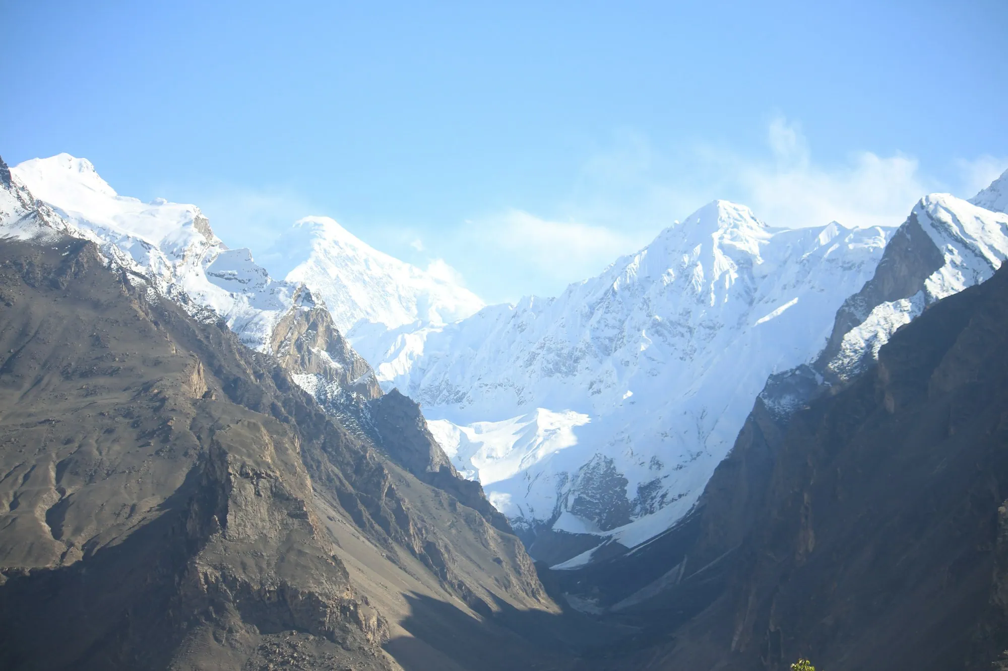
Gilgit-Baltistan is Pakistan's northernmost region, 72,971 km² of the Karakoram, western Himalaya and eastern Hindu Kush. Five of the world's fourteen peaks above 8,000 metres stand here, including K2 at 8,611 metres.
Until 1974 much of it was governed by princely states — Hunza, Nagar, Skardu — each with its own fort and ruler. The Karakoram Highway, finished in 1978 after twenty years of work, replaced mule tracks with a paved road to the Chinese border at Khunjerab, 4,693 metres up.
Most valleys sit between 1,500 and 3,000 metres, which is why apricot, cherry and walnut orchards grow directly beneath glaciers. Burushaski, Shina, Balti and Wakhi are all spoken within a few hours' drive of one another.
8,611 m, the second-highest mountain on Earth, on the Baltoro side of the Karakoram.
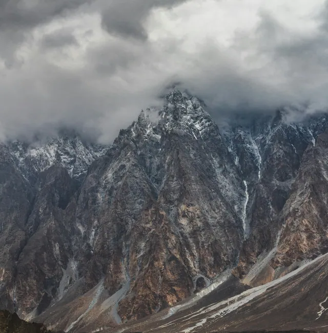
The densest concentration of high peaks anywhere in the world.
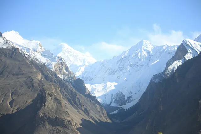
Terraces and orchards between 2,000 and 2,500 m along the KKH.
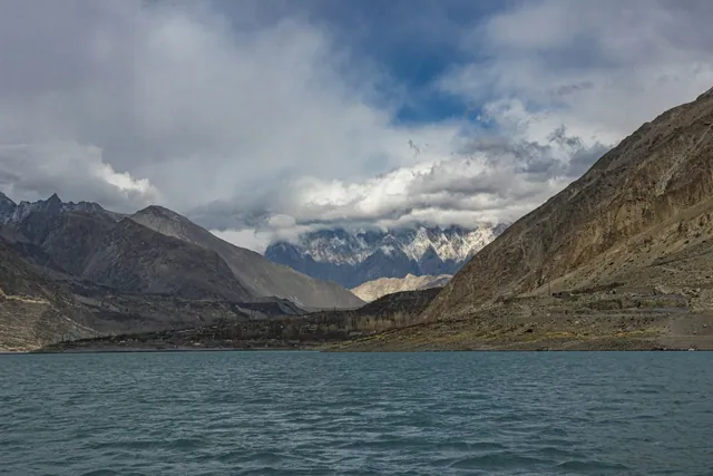
Formed in January 2010 when a landslide dammed the Hunza river; 21 km long.
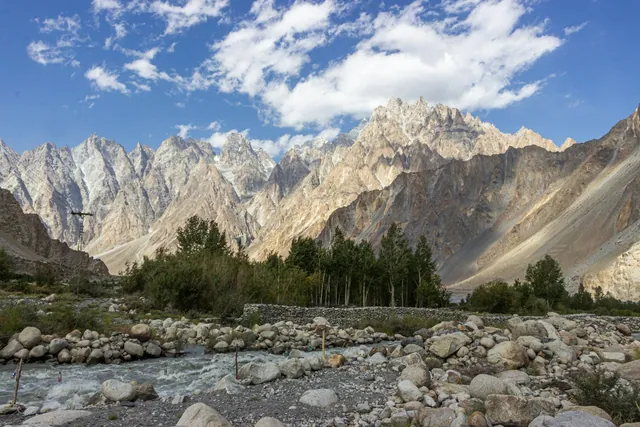
Cuts the valley from Khunjerab down to its meeting with the Gilgit river.
Baltoro, Biafo and Hispar feed the Indus through the summer.
Dried on rooftops through August; the oil is pressed for cooking and skin care.

Baltistan's meat-filled flatbread, cooked on an iron griddle.
Namkeen chai churned with butter, drunk all day in Skardu and Khaplu.
700 years old above Karimabad, restored in 1996 and open as a museum.
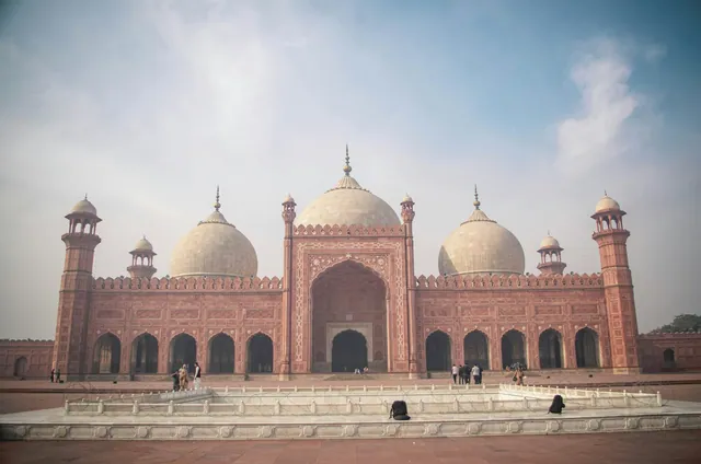
Roughly 1,100 years old, with a royal garden below it.
Thousands of Buddhist-era petroglyphs along the Indus near Chilas.
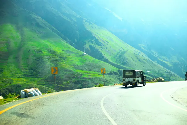
Hand-painted trucks and rickshaws, a craft trade worth millions of rupees a year.
Copper, cloth, spice and book markets in every old city.
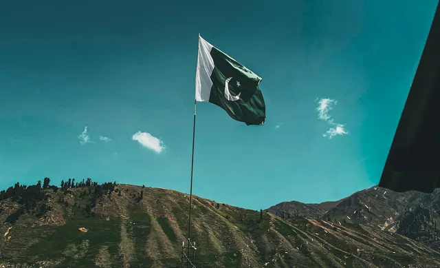
Basant, Urs gatherings, Shandur polo and the Kalash calendar.
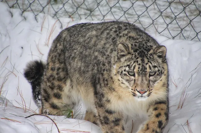
Tracked in Khunjerab and Deosai; a few hundred remain nationwide.
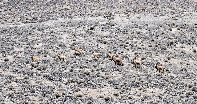
Winter herds on the cliffs above Passu and Shimshal.
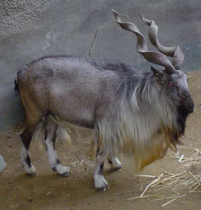
The national animal, protected by community conservancies here.
Each one opens its own page: its story, rivers and lakes, food, heritage, culture, wildlife and what to see.
The Karakoram Highway (opened 1978) connected Gilgit-Baltistan to China via the Khunjerab Pass at 4,693 m — the highest paved border crossing on Earth. Pakistan tested nuclear weapons in 1998 at Chagai (Balochistan). Today Pakistan is the world's fifth most populous country with 240 million people.
No photographs published from Gilgit-Baltistan yet.
May to October for road access; December to February for snow work in Hunza.
Fly Islamabad → Skardu (1 hour) or Islamabad → Gilgit (1 hour). By road it is a 20-hour drive north along the Karakoram Highway.
Foreign nationals need a No-Objection Certificate from the GB Home Department for Khunjerab, Shimshal and Chapursan. Indian nationals cannot visit.
The roof of Pakistan. K2, Karakoram Highway and turquoise lakes.
Every Gilgit-Baltistan photograph on Pixistan is shot on location by a Pakistani photographer. Pixistan does not accept AI-generated or agency stock imagery.
Full-resolution files in PKR.
Browse galleryPhotos, films, guides and stories.
Open category